
New England - October 2026
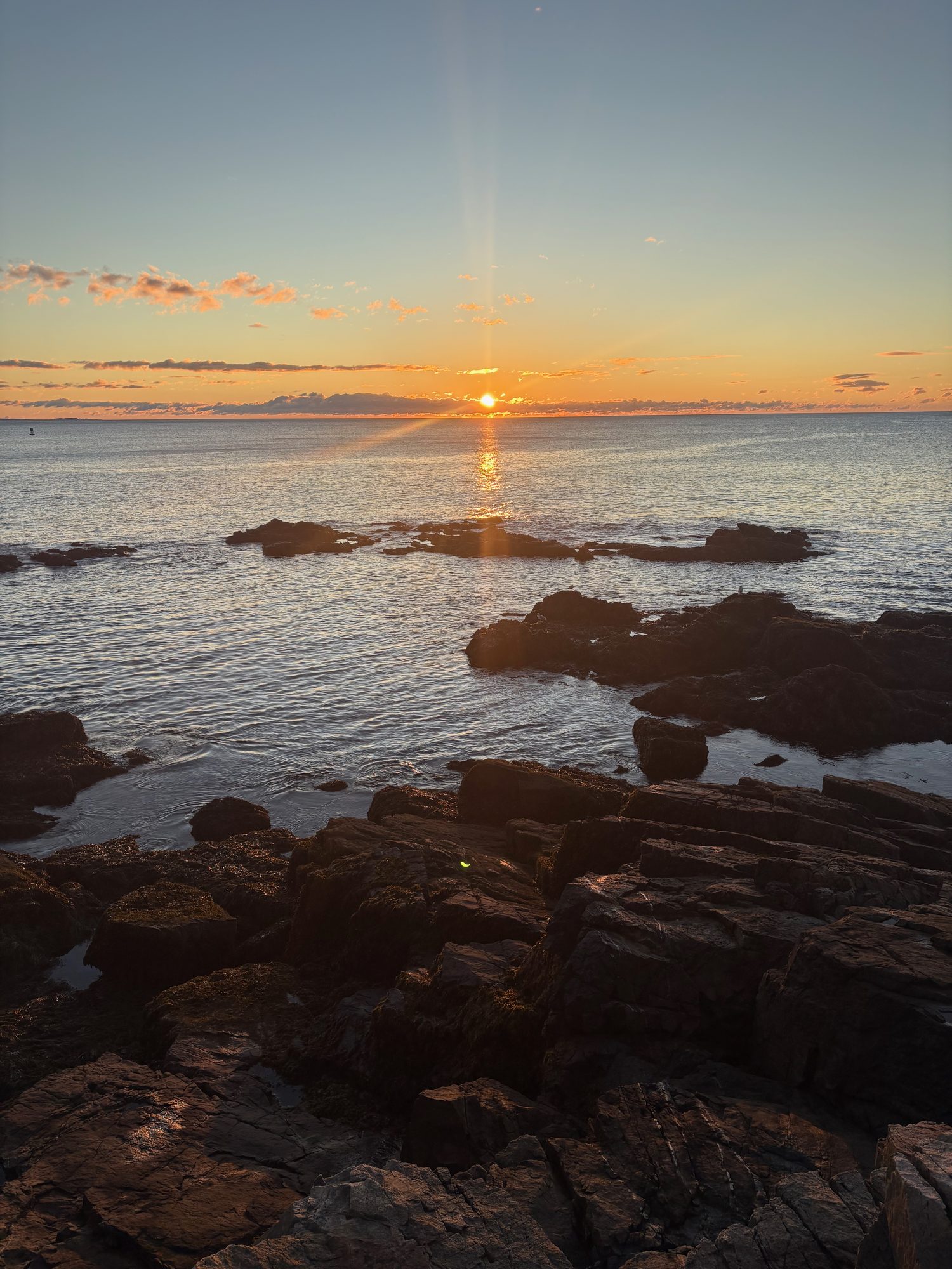 Nine days, one rental car, four states and about 1,800 miles, chasing the colour from Vermont to the Maine coast.
The Plan, And What Became Of It
Two days in the Boston office first, then nine days to get around New England in peak colour and spend real time in Acadia.
The planning problem was that the foliage doesn’t wait. Vermont’s high country peaks around the second week of October; the Maine coast runs roughly two and a half weeks behind it. So the loop was built to run with the colour rather than across it: north and west into Vermont first, over the spine of the Greens, through the White Mountain notches, then Down East to Acadia, and home along a coast that was only just turning.
It mostly worked. What it did not do was stay on schedule. The written plan had us in Franconia Notch on day three and Crawford Notch on day four; the photographs say otherwise. Vermont ran long - Smugglers’ Notch and Stowe ate most of a day, and Montpelier at golden hour was worth being late for - so everything downstream slid about half a day, and two of the New Hampshire days collapsed into one. Acadia rearranged itself around a timed entry slot we didn’t choose, and the last three days went nothing like the itinerary either.
What follows is the trip the photographs describe, not the one the plan did.
The Route
- 9 days
- ~1,790 miles
- 89 stops
- 4 states
- 1 national park
Click a day to show or hide it; click a pin for the time we were there.
Day 1, Saturday 10 October: Boston to Rutland
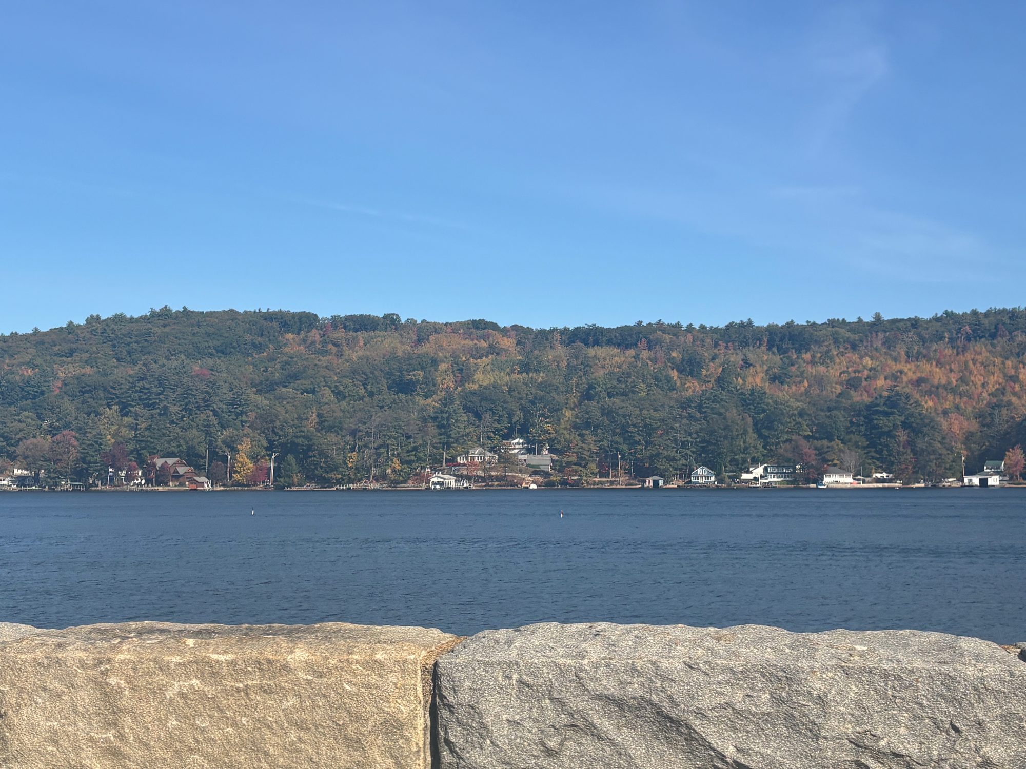
Out of Logan at 7 AM with the whole state of New Hampshire to cross. Brunch in Concord under the gold dome, then east to Wolfeboro to pick up Lake Winnipesaukee and follow the south shore slowly round to Meredith, where the route turns hard west and stops being scenic for two hours.
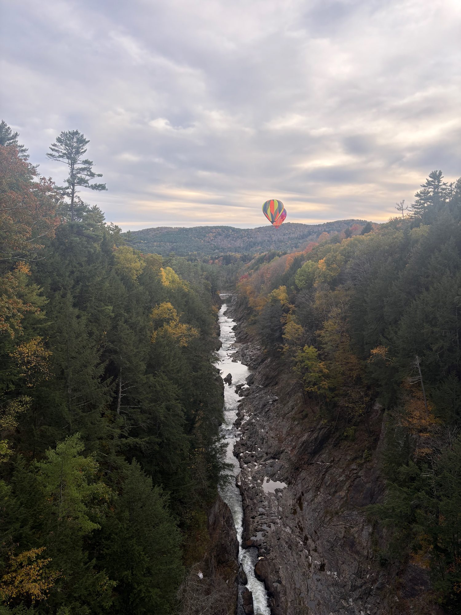
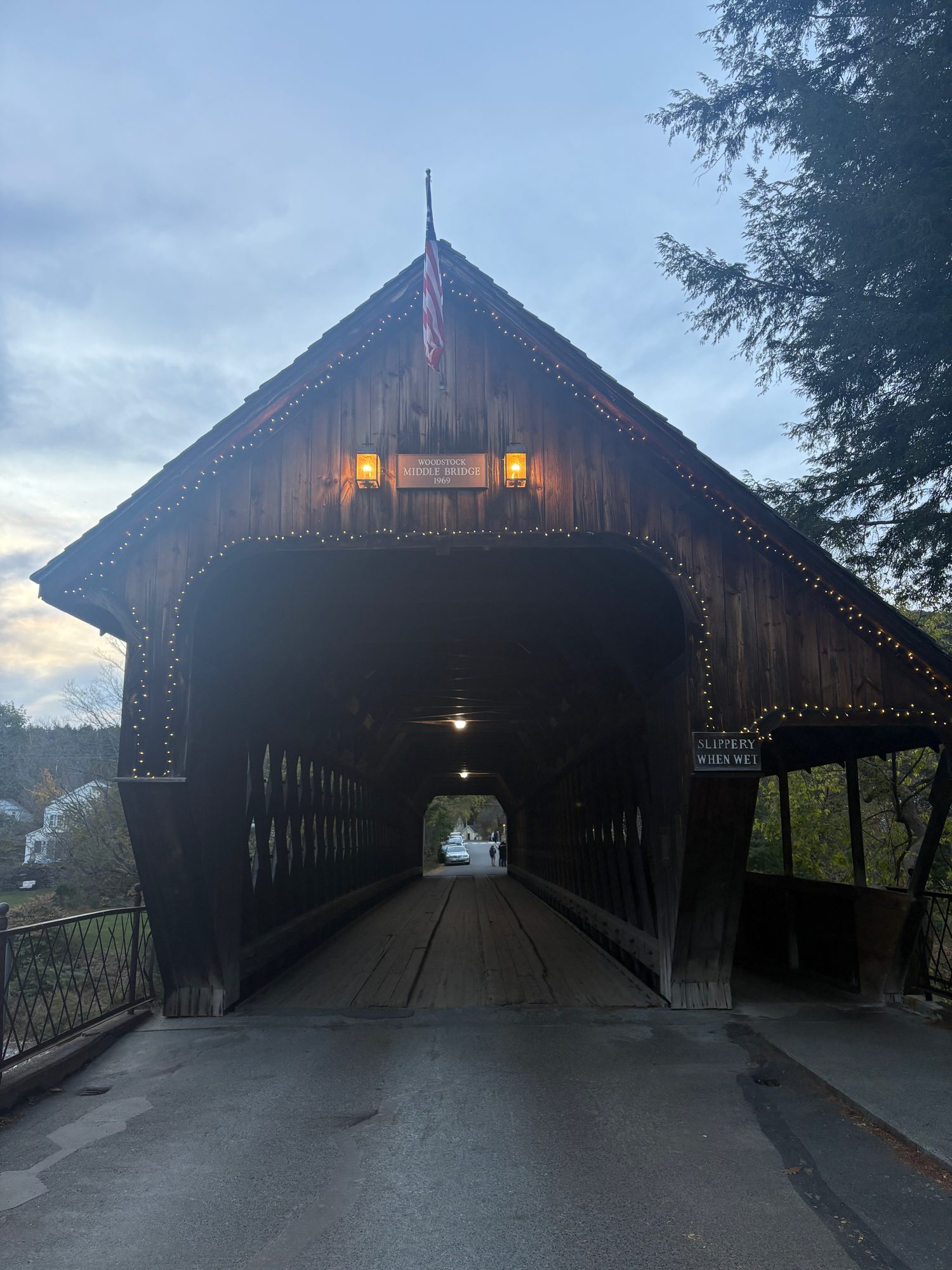
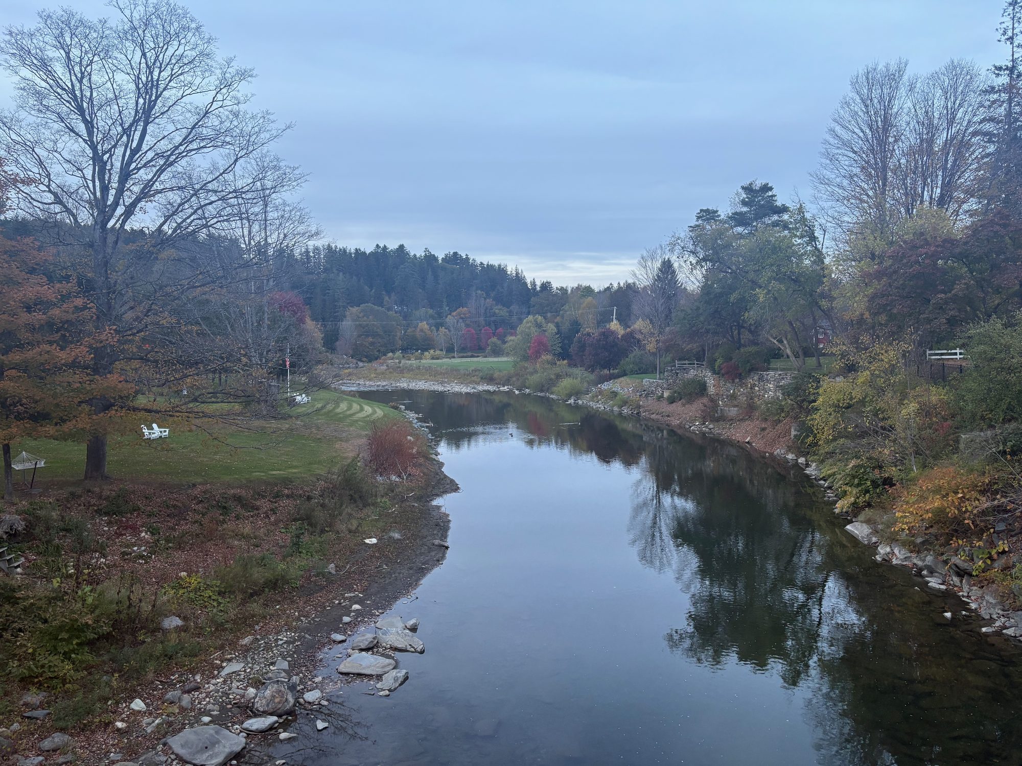
It earns it back at Quechee Gorge, where the US-4 bridge drops you straight over 165 feet of glacial chasm - and, that afternoon, a hot-air balloon drifting down it. Then Woodstock for golden hour: the Middle Covered Bridge, the green, the Ottauquechee going flat and dark, and dinner before the last hour west to Rutland.

Day 2, Sunday 11 October: Route 100, the Appalachian Gap and a fort
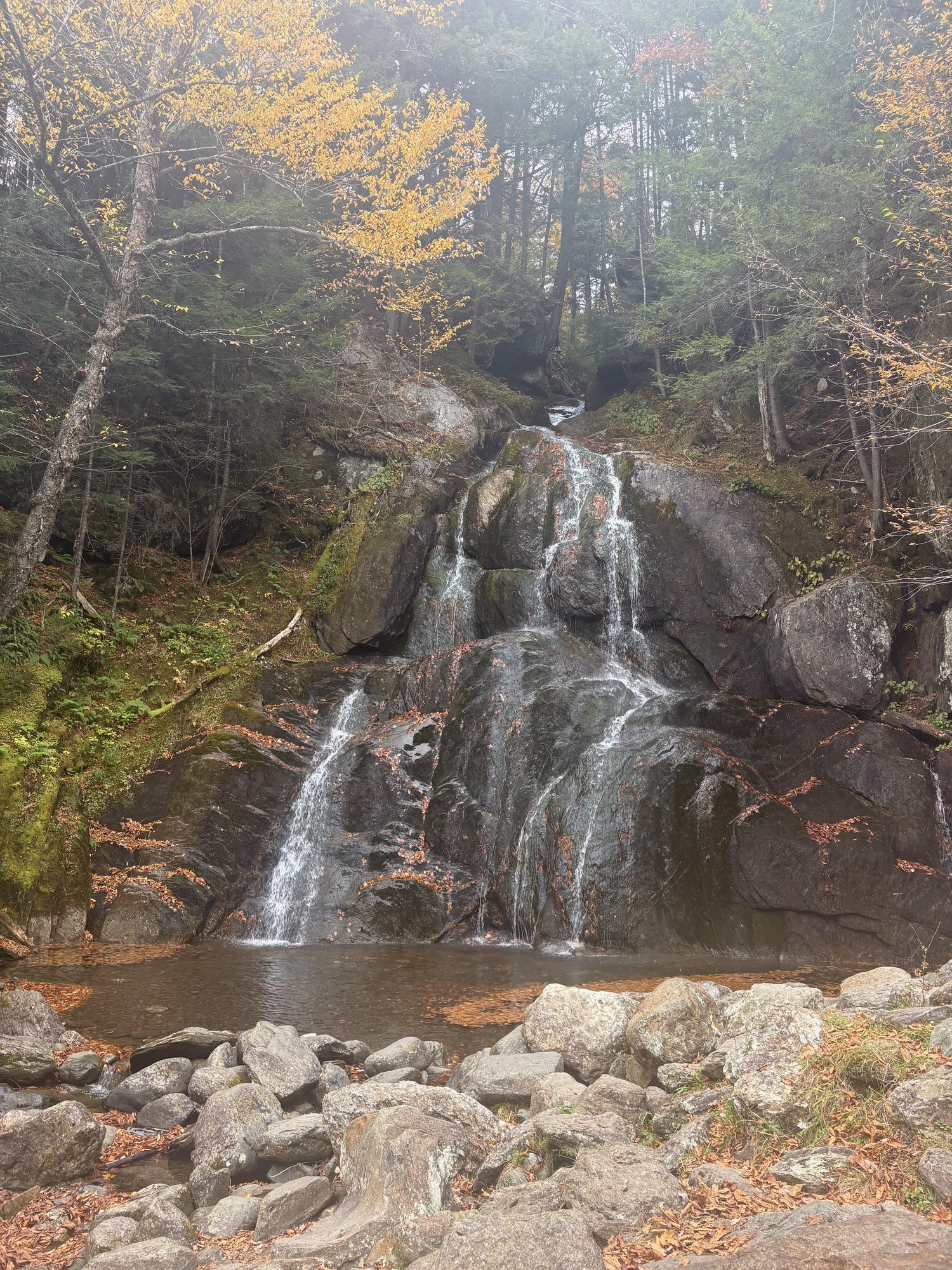
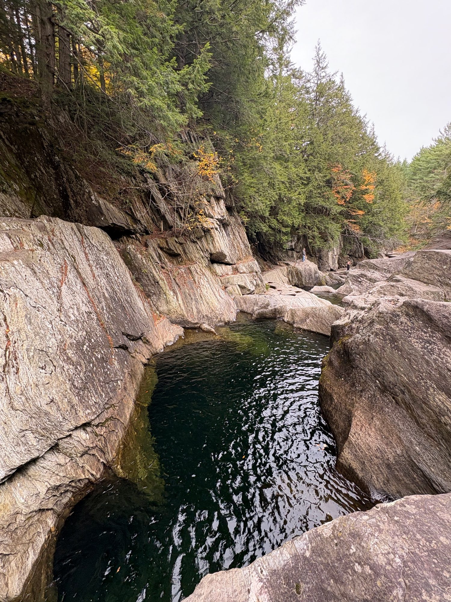
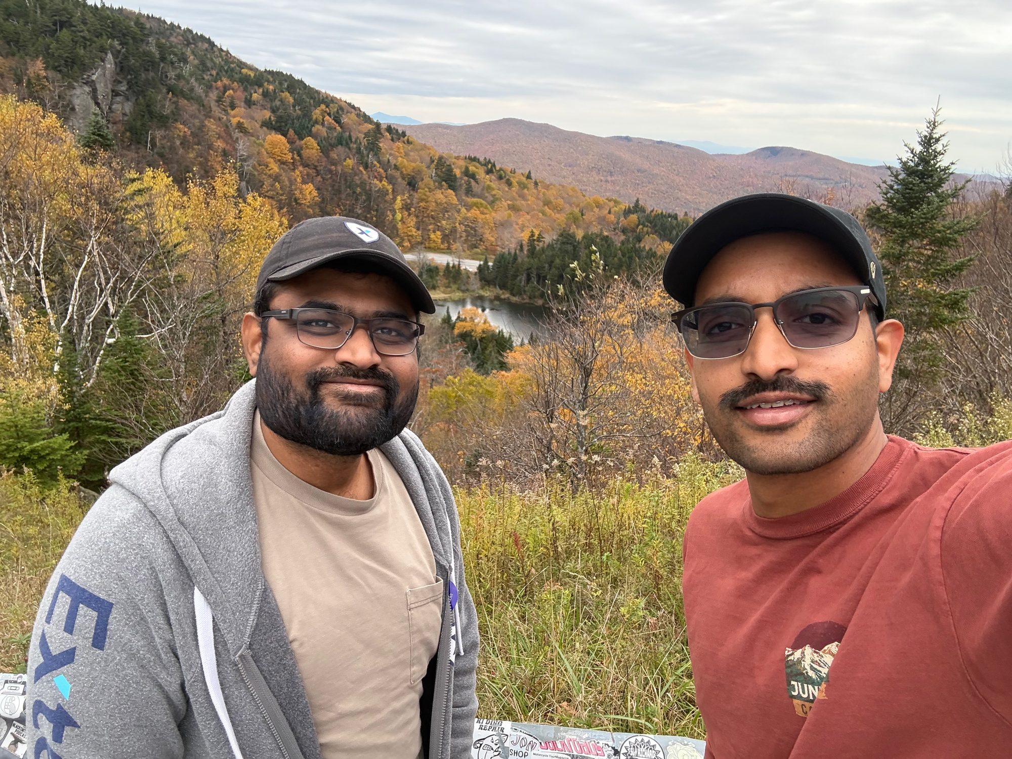
North up Route 100, which is the whole argument for driving Vermont in October. Thundering Brook Falls has a flat boardwalk to one of the tallest falls in the state. Moss Glen Falls in Granville Gulf is a roadside stop you can do in ten minutes. Warren Falls is a scramble down to a set of potholes cut into the rock, and nobody was there.
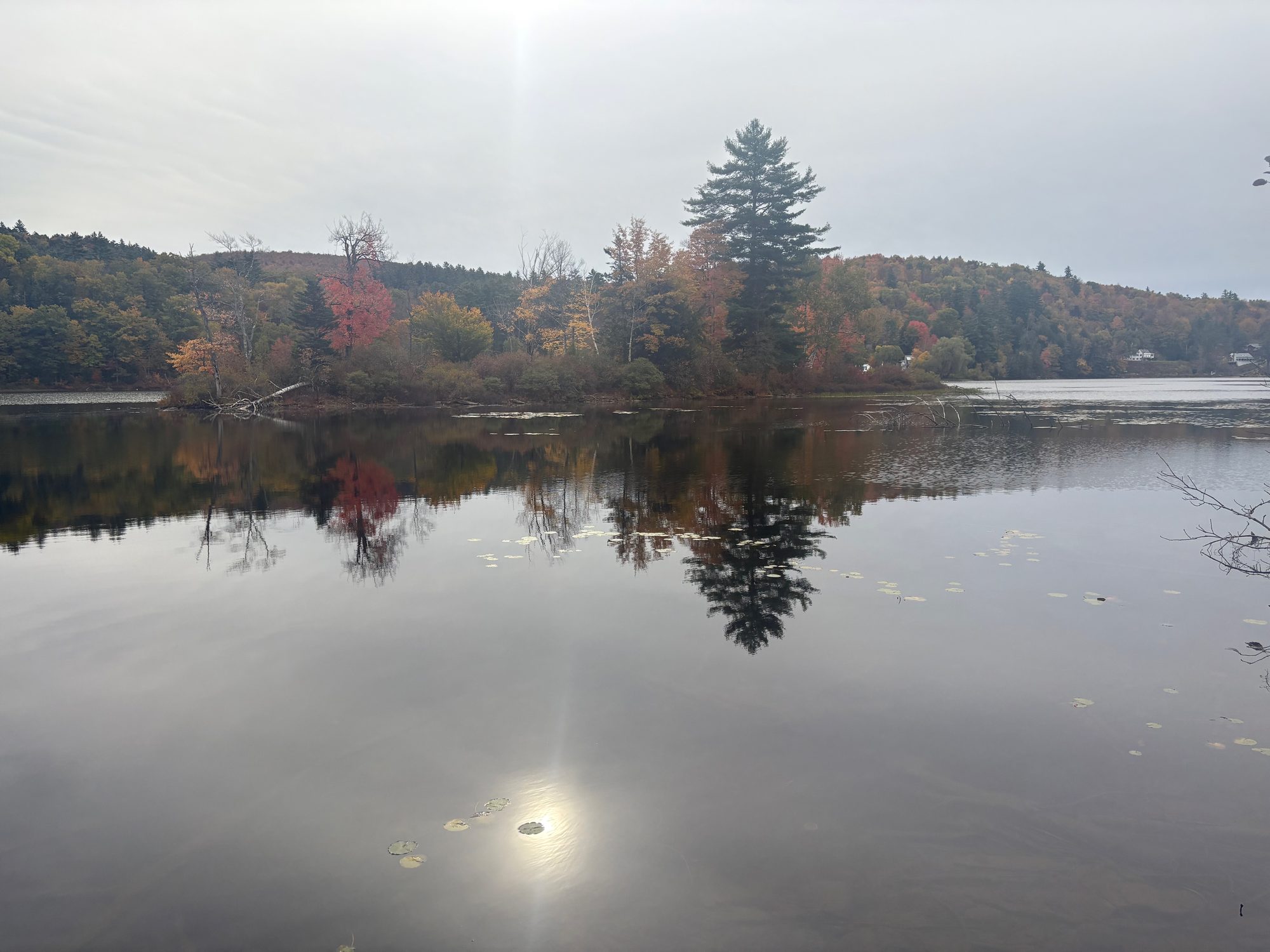
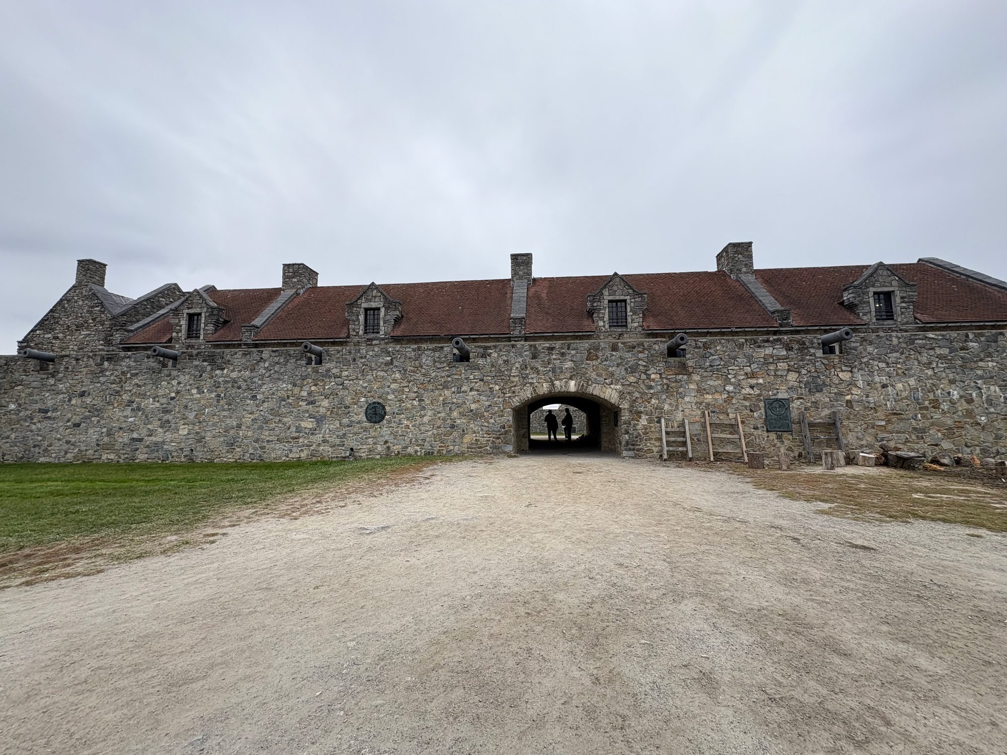
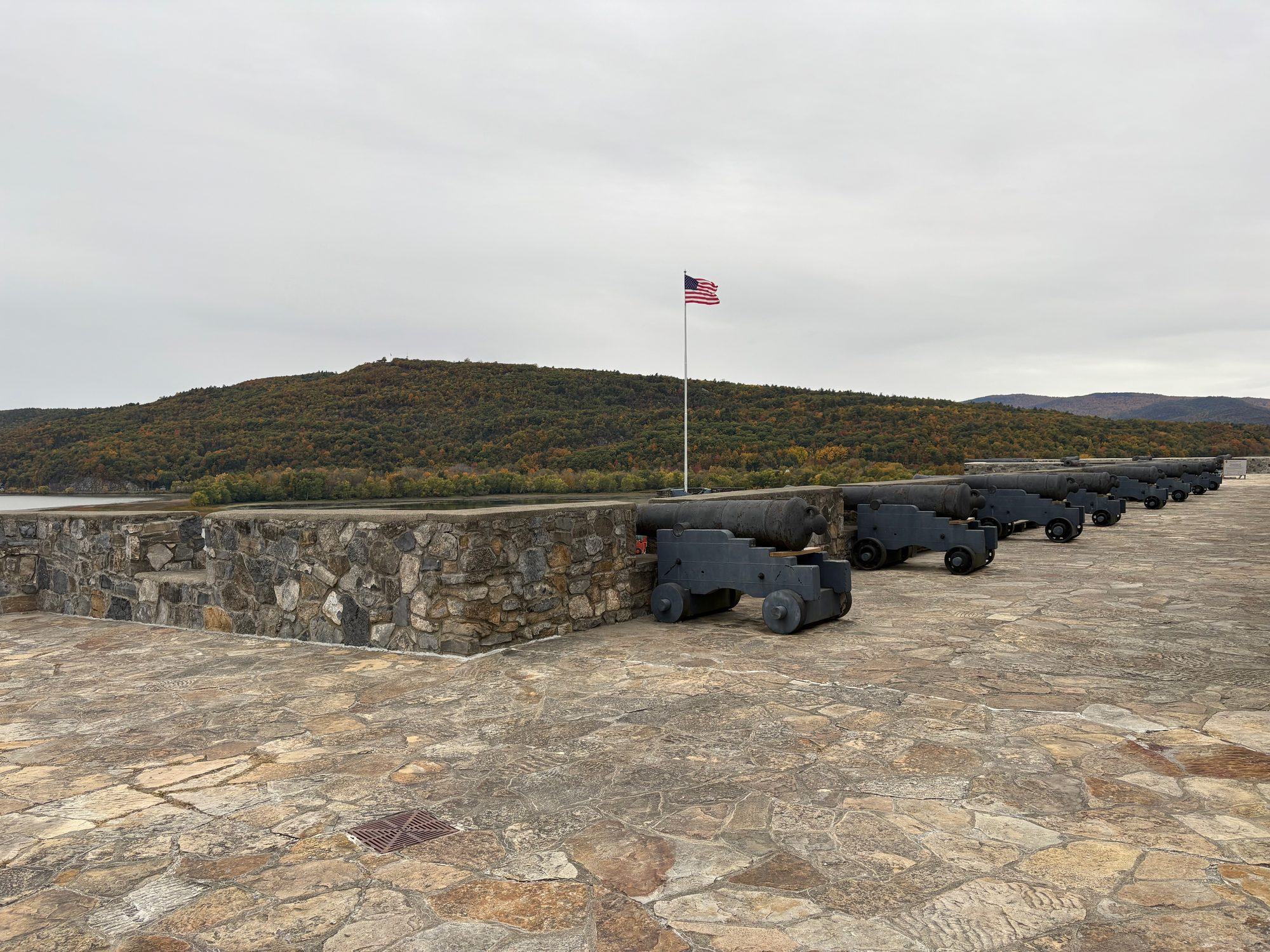
Then VT-17 over the Appalachian Gap - sustained 15% grades, the Long Trail crossing at the top, and the whole Mad River Valley behind you. Down the west side into the Champlain Valley, over the Crown Point Bridge into New York, and two hours at Fort Ticonderoga: a star fort on a bluff with Lake Champlain on three sides and a gun line pointed at all of it. Back across the lake and north to Burlington for the night.
Day 3, Monday 12 October: Smugglers’ Notch, Stowe and the smallest capital
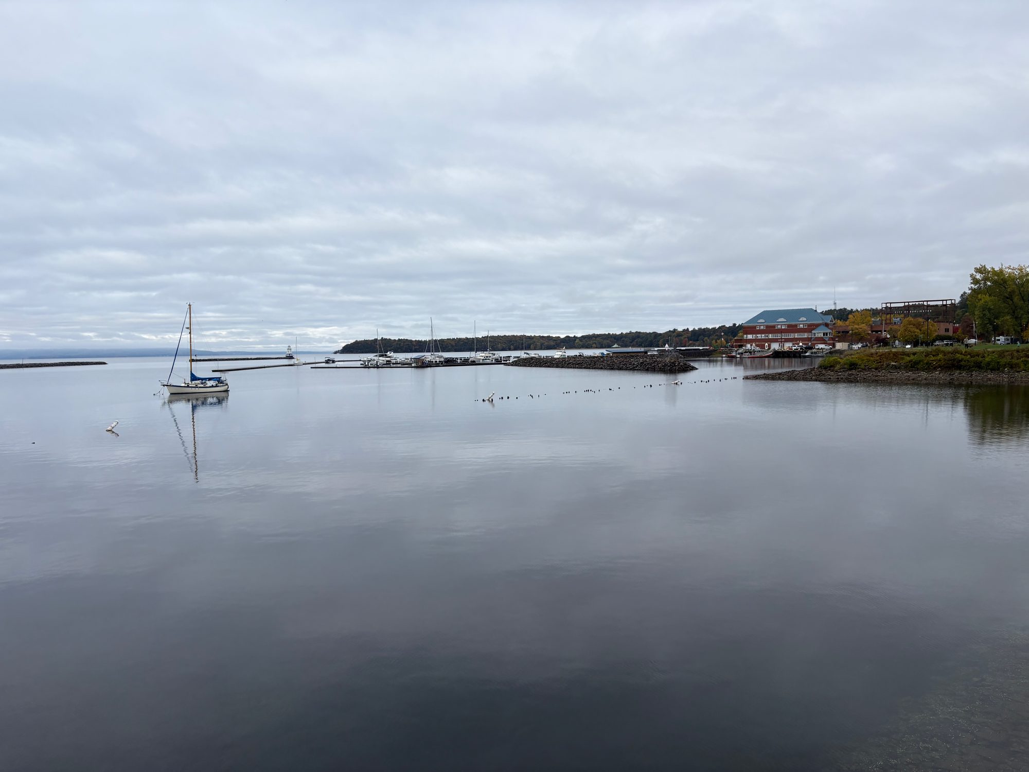
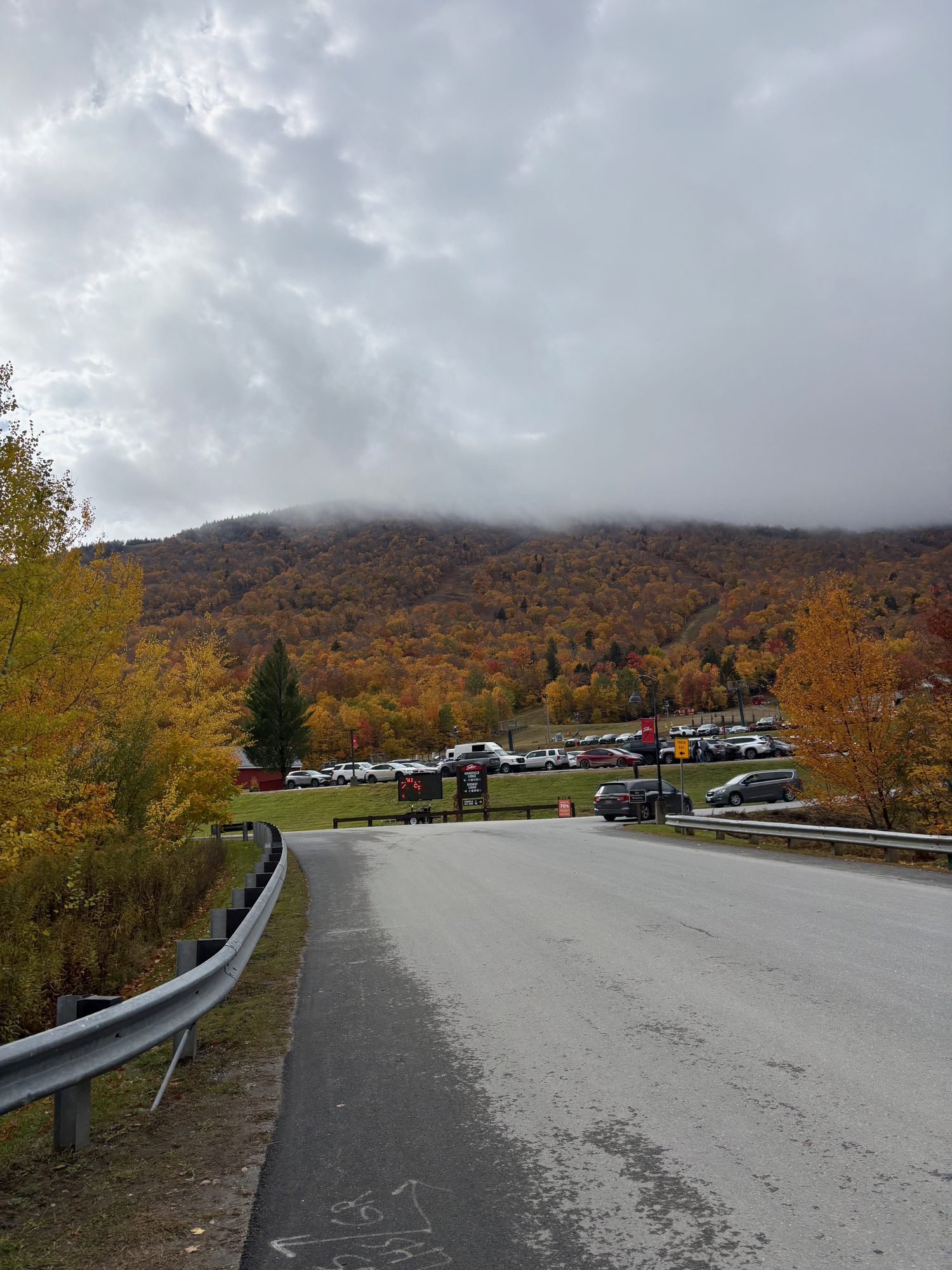
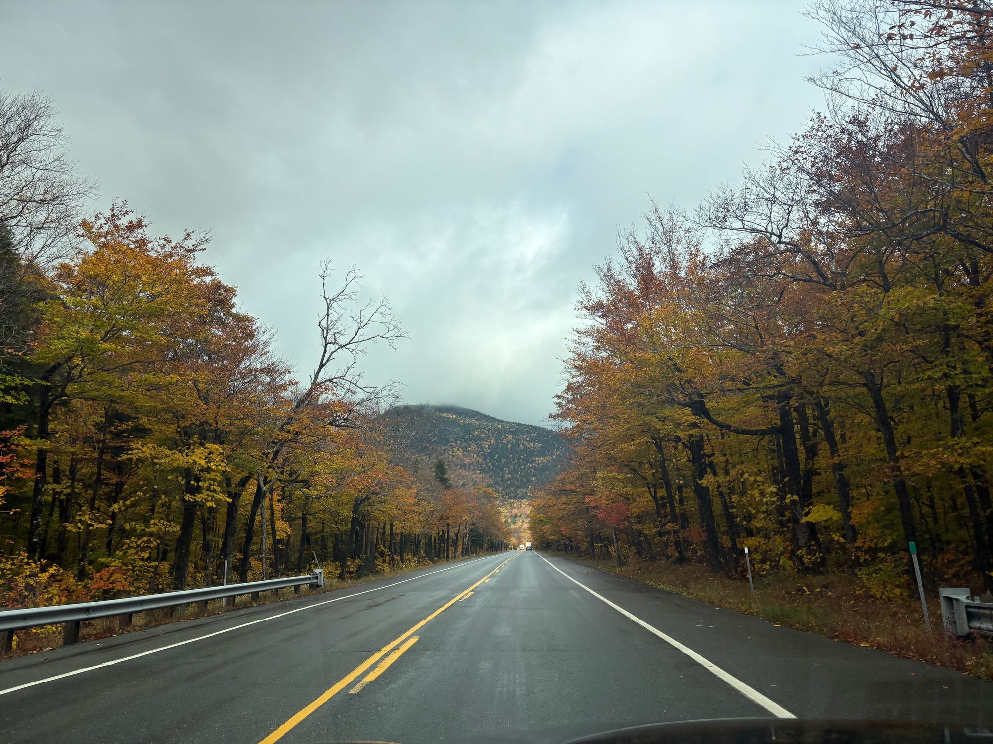
Breakfast on the Burlington waterfront, then round to Jeffersonville to take Smugglers’ Notch southbound. Four miles of single-lane hairpins between boulders the size of houses, with pull-offs that aren’t really pull-offs. It is closed all winter and it is obvious why.
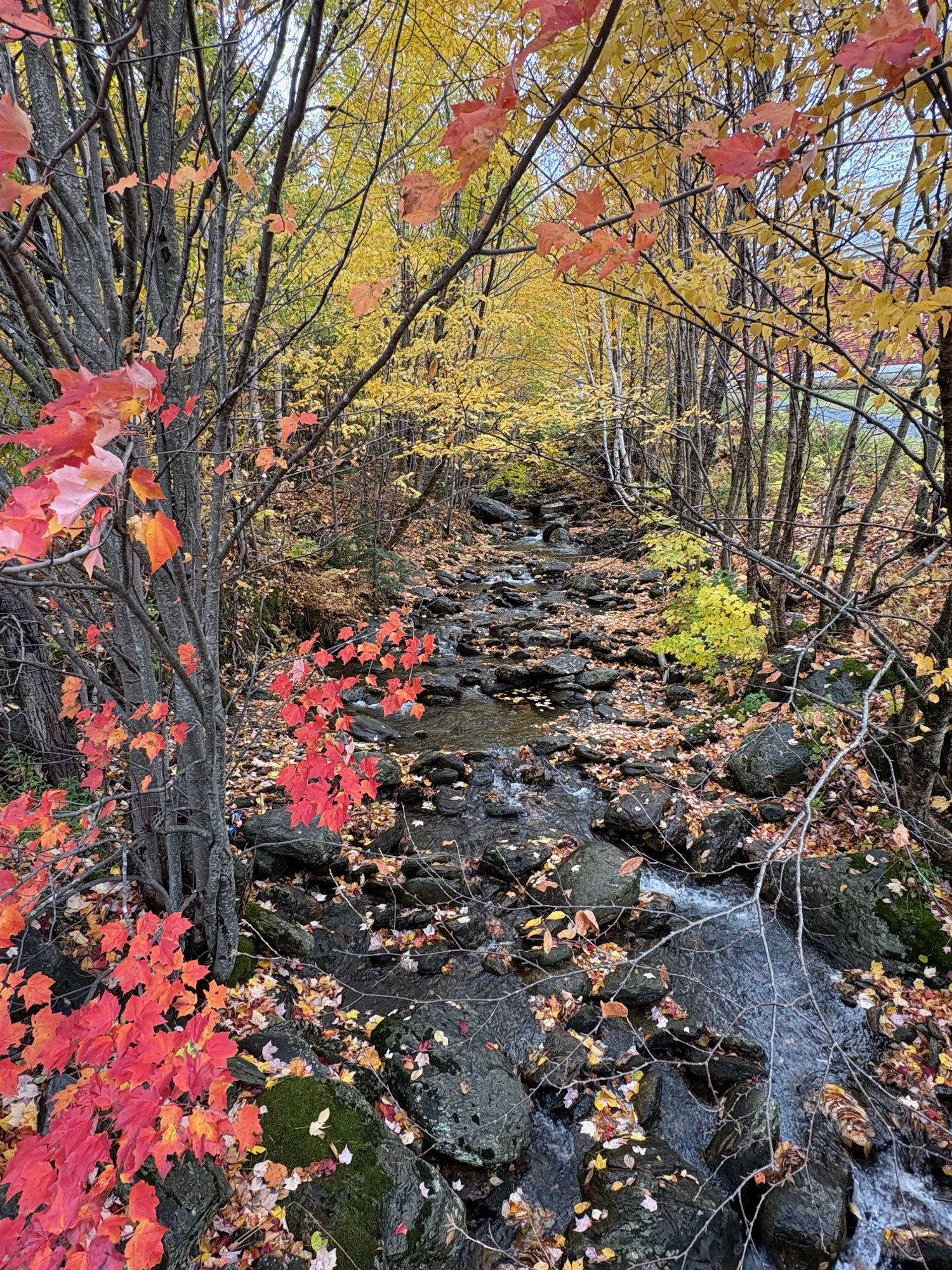
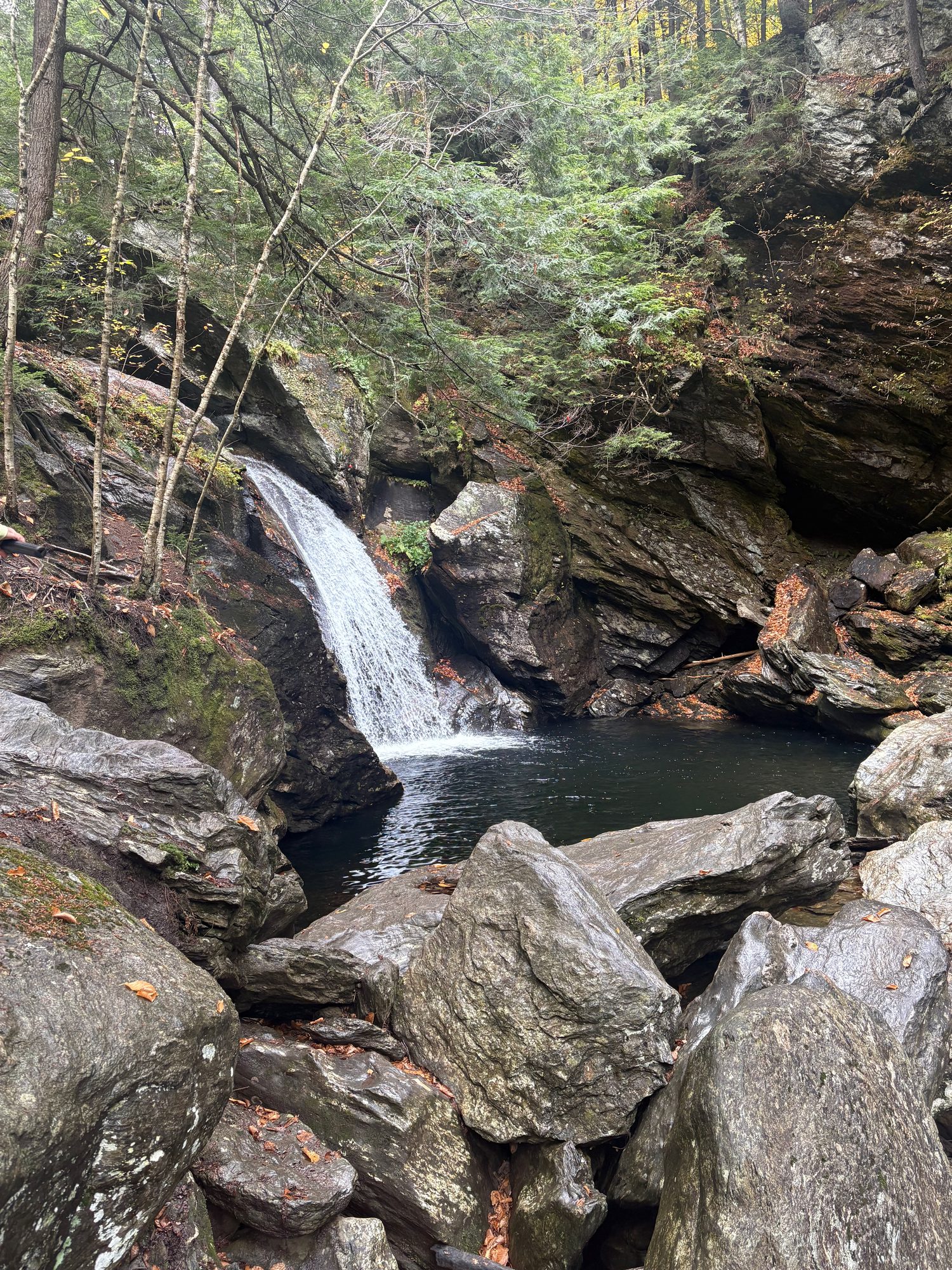
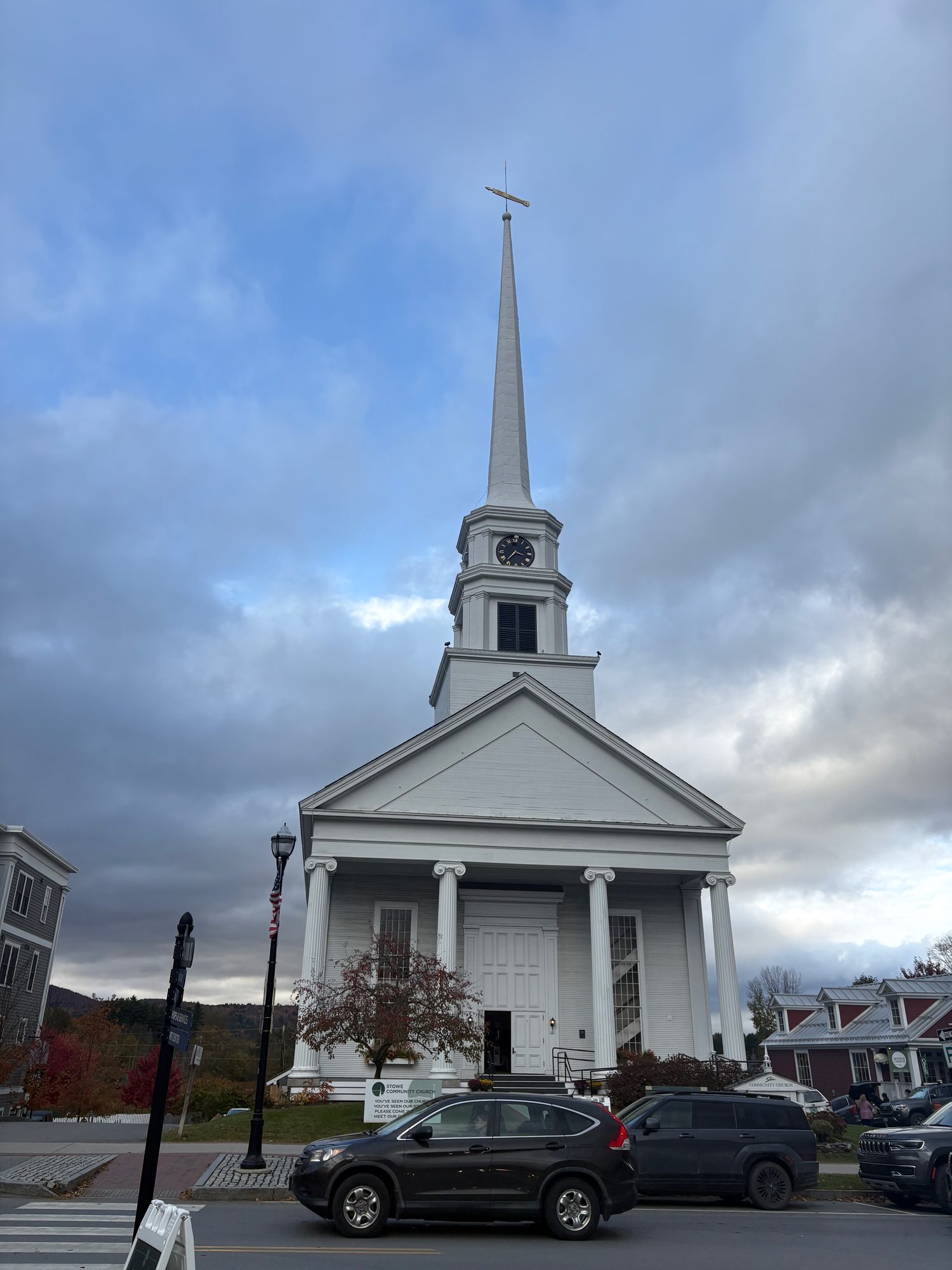
Bingham Falls is the stop everyone drives past - an unsigned path on the Stowe side, down to a slot of clear green water. Then Stowe itself for lunch and the church everybody photographs, the 1844 Gold Brook Covered Bridge (the haunted one), and cider donuts at Cold Hollow, made in front of you and eaten in the car park.
That put us in Montpelier in the late afternoon, which turned out to be the best accident of the trip - the smallest state capital in the country, lit up gold, almost empty. It also meant two hours in the dark across to Lincoln, New Hampshire, and the Franconia Notch day pushed to tomorrow.


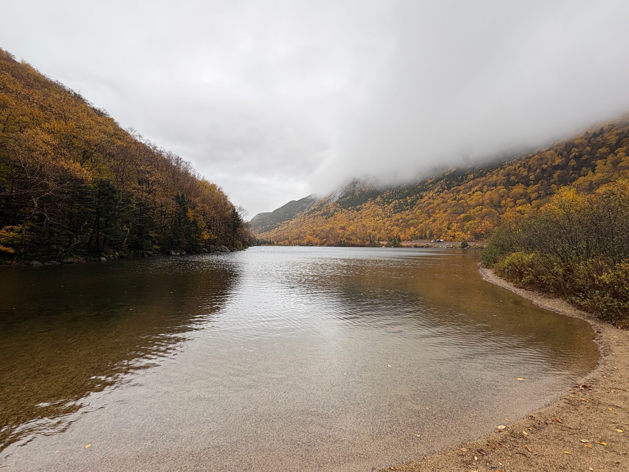
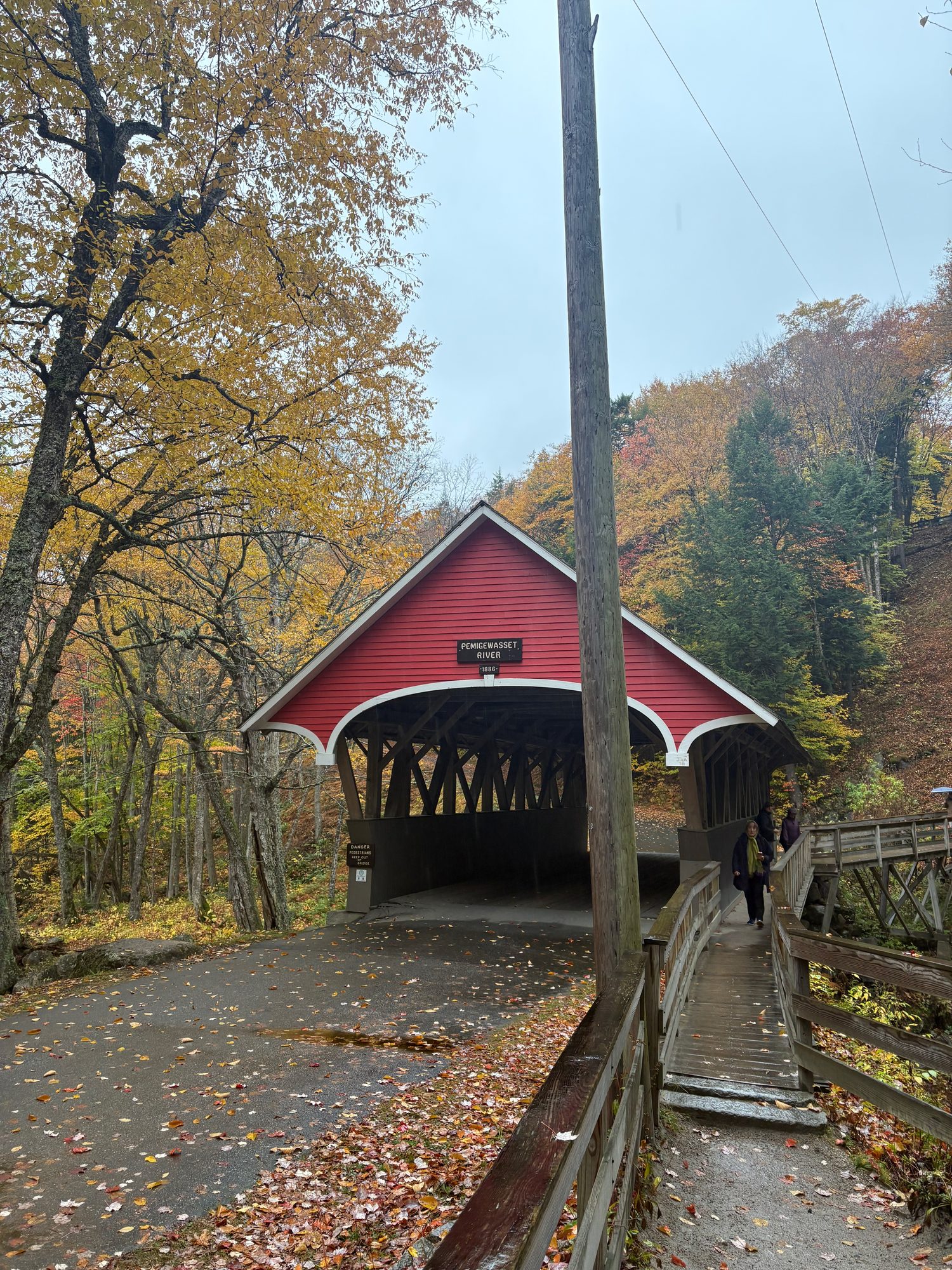
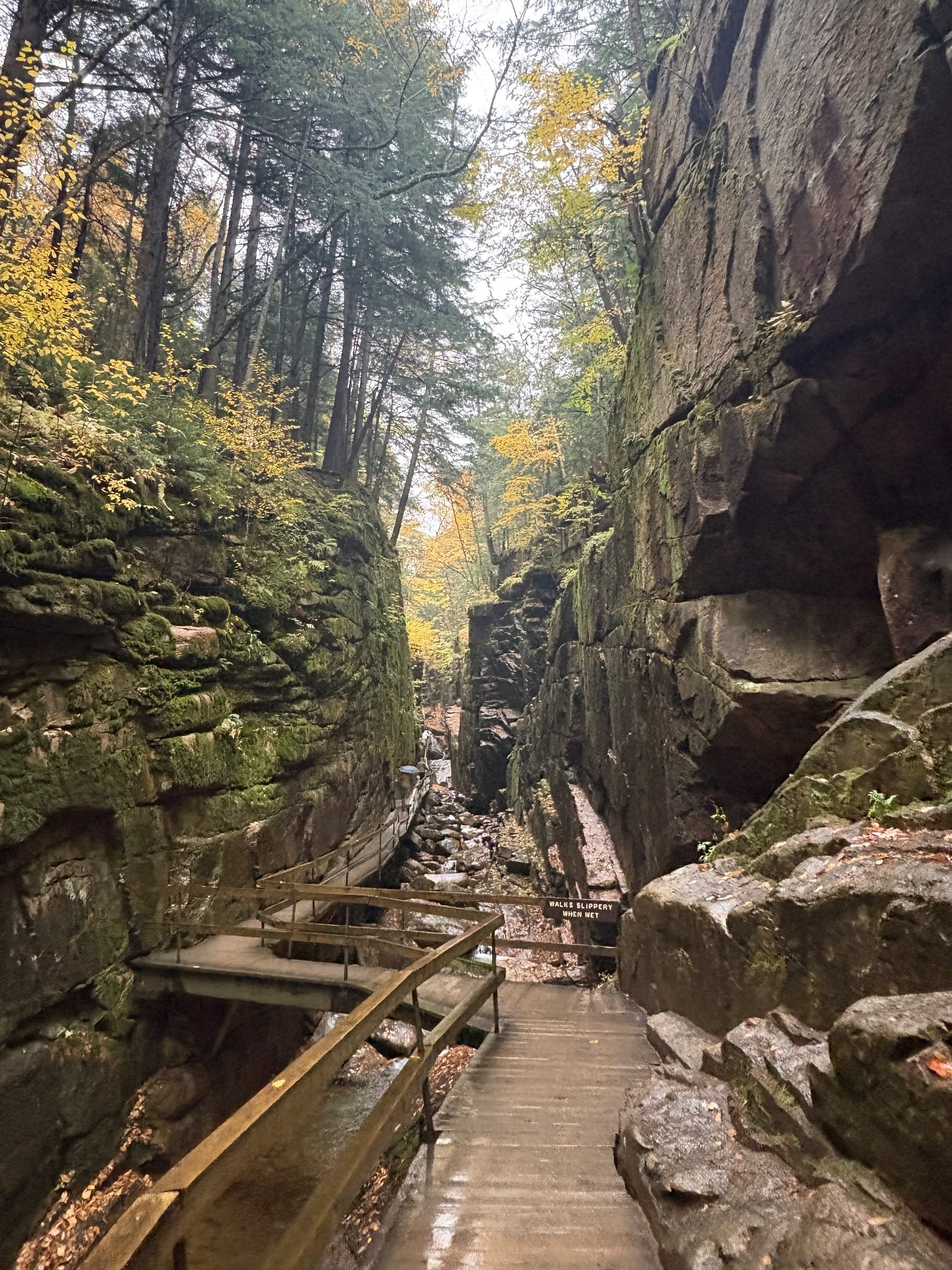
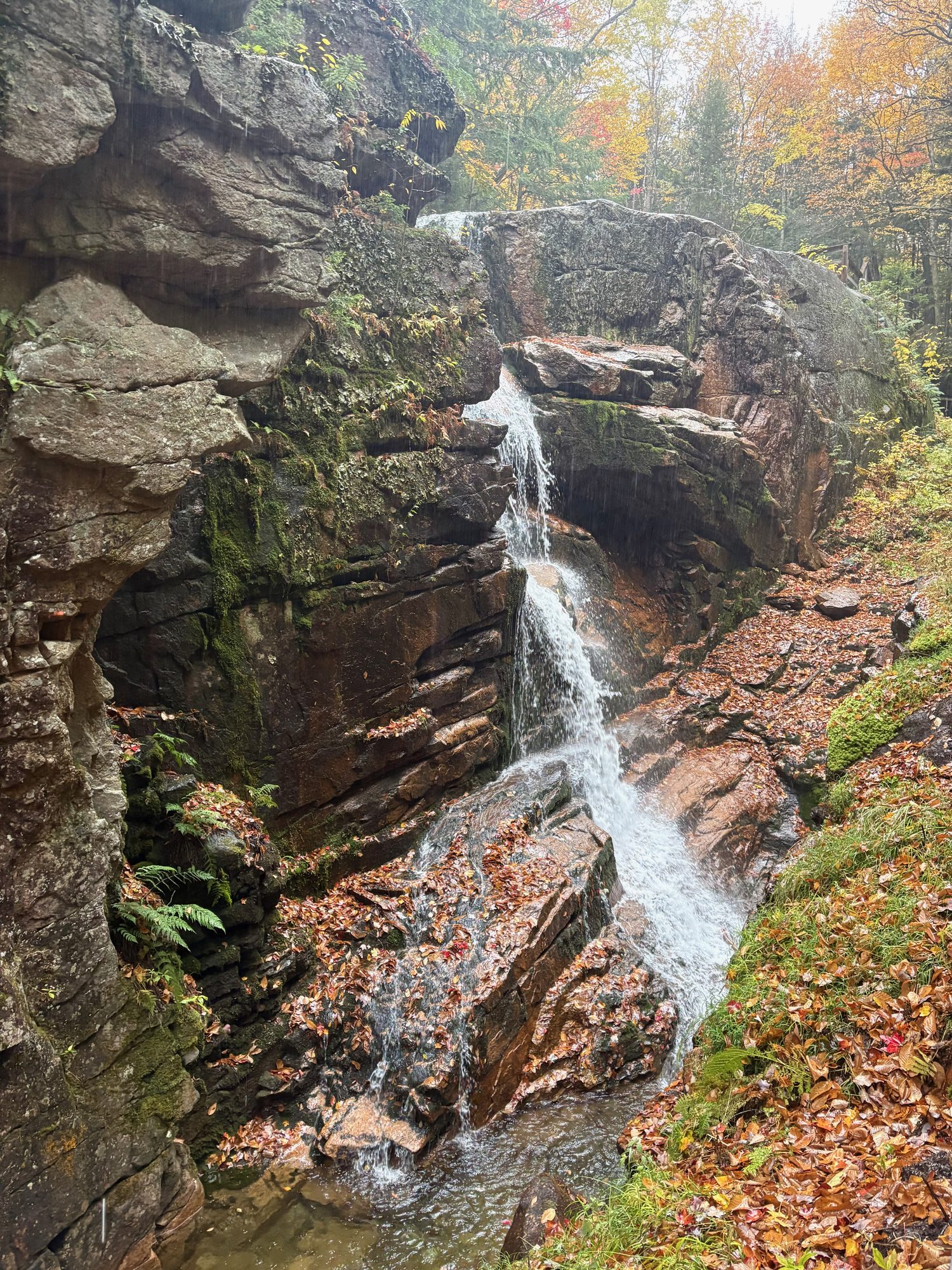
Day 4, Tuesday 13 October: Franconia Notch in the rain, then the Kancamagus
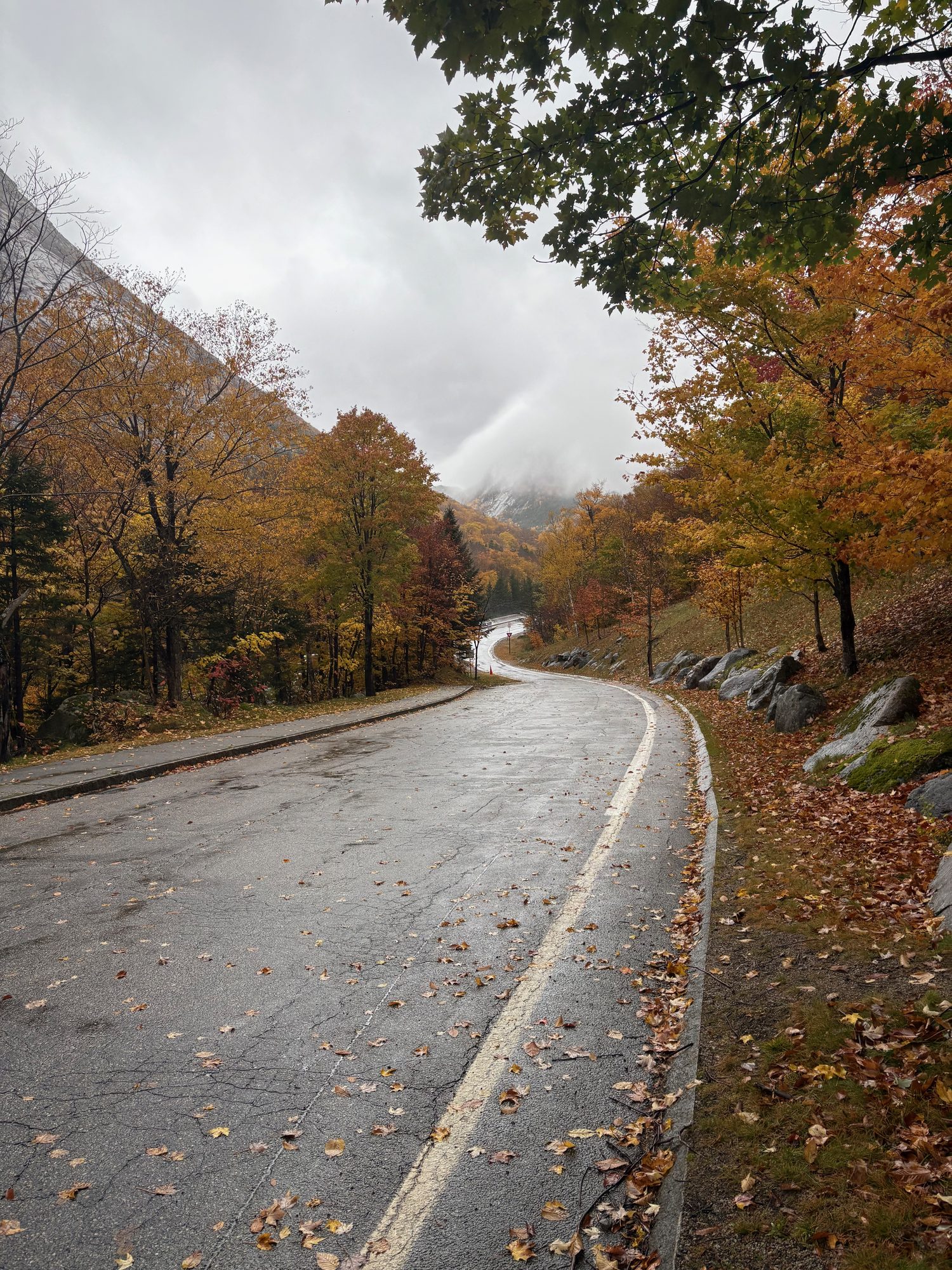
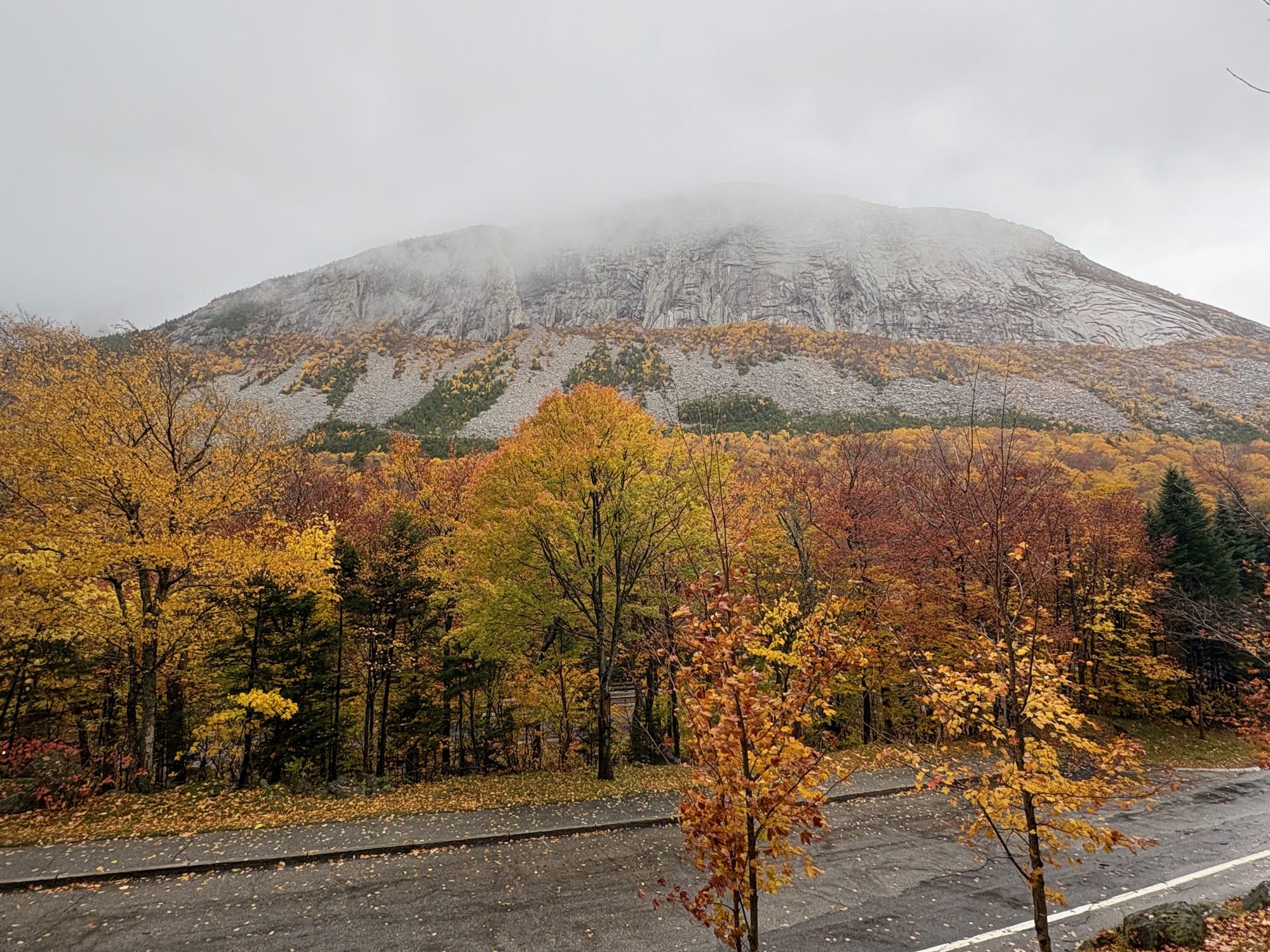
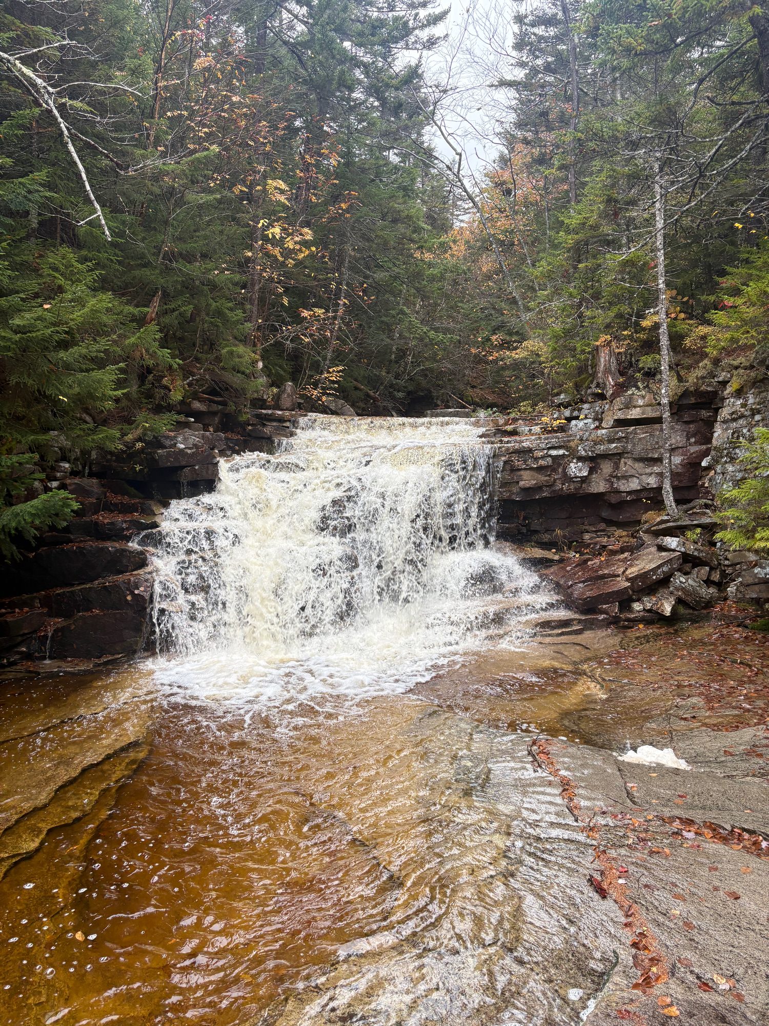
The one properly wet day, and the notch was better for it. Echo Lake had cloud sitting on the surface at eight in the morning. The Flume Gorge - two hours of boardwalk bolted to 90-foot granite walls, with Avalanche Falls at the top - is a place that works in rain, since you’re getting wet anyway and the water is doing something.
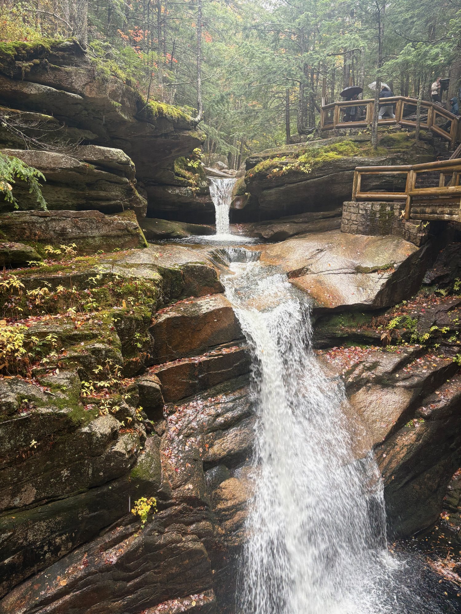
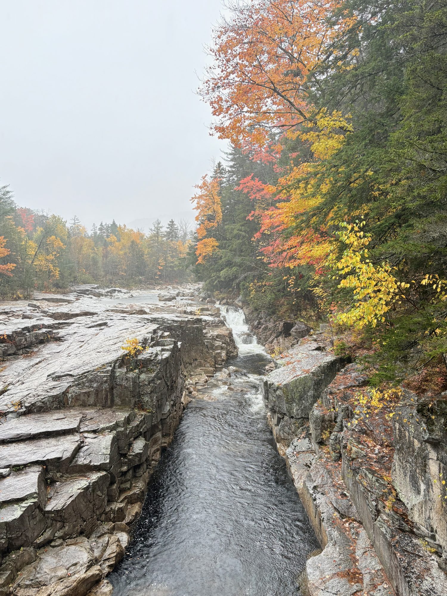
Then The Basin, a 20-foot pothole drilled into the bedrock by Cascade Brook, Profile Lake below the empty cliff where the Old Man used to be, and the Cannon cliffs appearing and disappearing in the cloud. Artist’s Bluff was a non-starter in that visibility, so we gave up on it and drove the Kancamagus instead: 2,855 feet at the pass, no services for 35 miles, Sabbaday Falls on a short gravel walk, and Rocky Gorge where the Swift River gets squeezed into a slot. In North Conway by half four, which after two long days felt like a gift.
Day 5, Wednesday 14 October: Two notches and the long run to Bangor
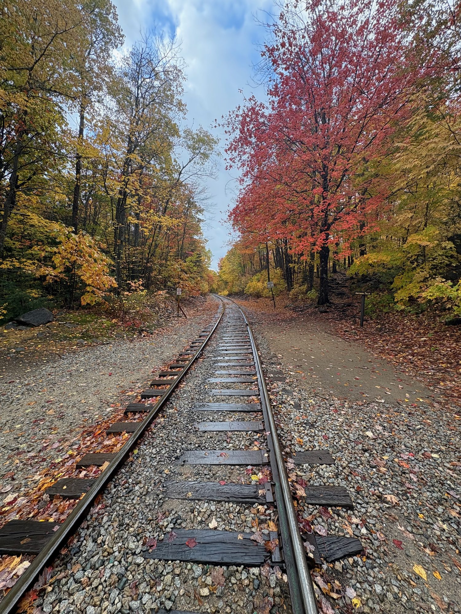
A big day. West into Crawford Notch first, where the old Maine Central grade runs along the east wall on trestles and the slide scars come straight down to the road, Silver Cascade falls out of the woods onto the shoulder of US-302, and the 1902 Mount Washington Hotel sits under the Presidentials with cloud on the ridge behind it.
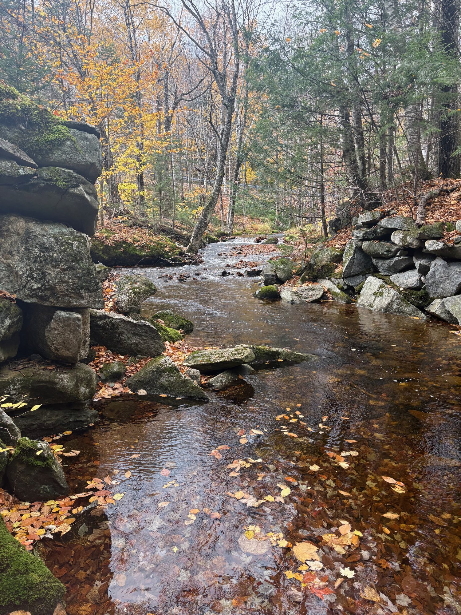
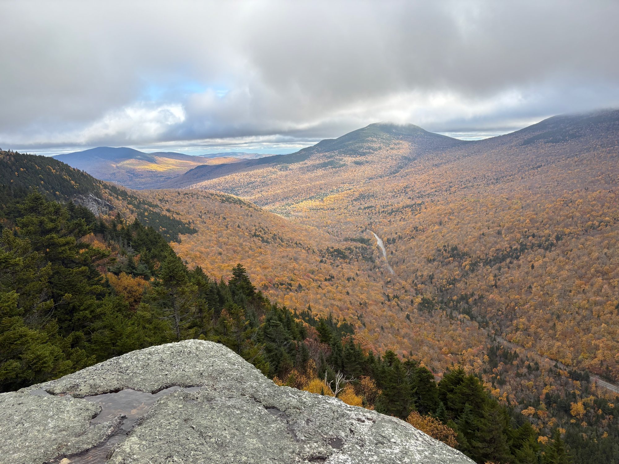
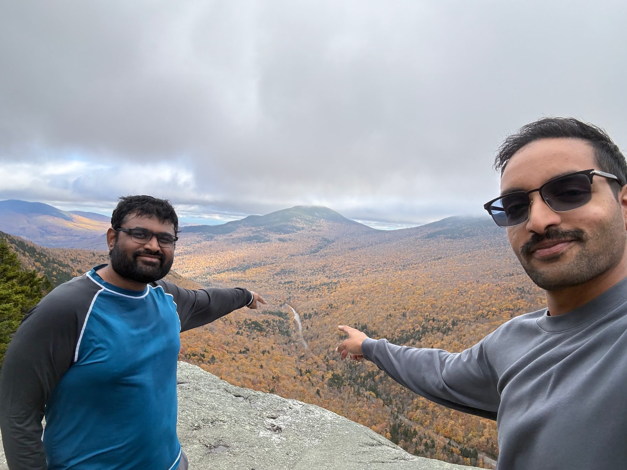
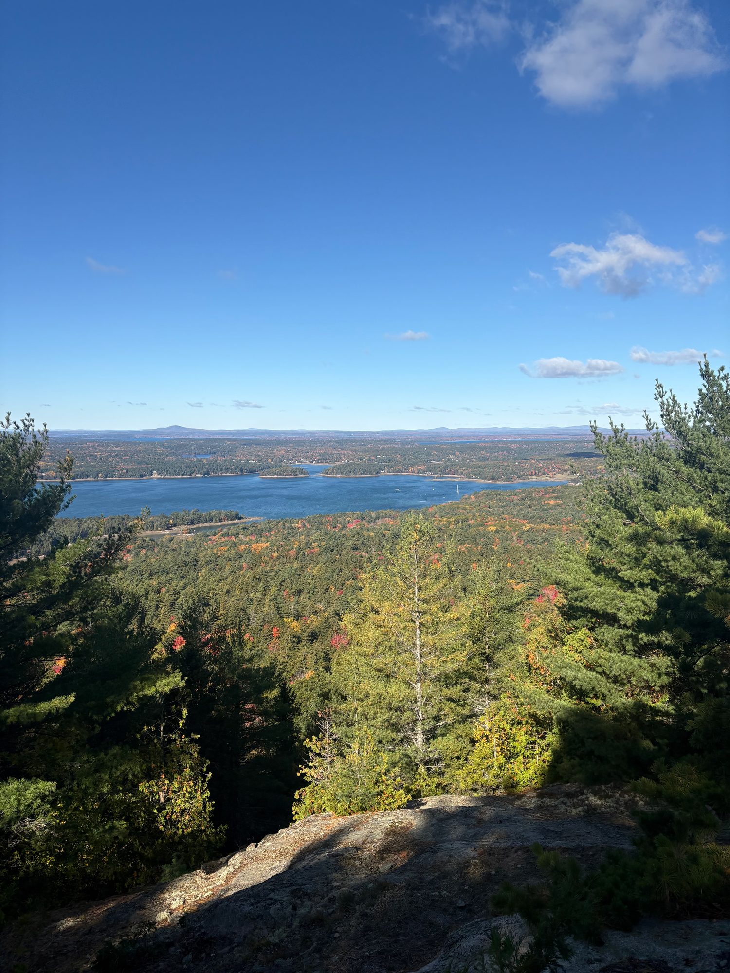
Then north along the Androscoggin through Gorham and the mill blocks of Berlin, over the line to Bethel, Maine, and up ME-26 into Grafton Notch. Screw Auger Falls is a gorge the Bear River has cut into bare granite thirty seconds from the car park. Table Rock is the opposite: 2.4 miles and 900 feet, partly up a boulder staircase, to a slab of open rock hanging over the notch. Best view of the trip from the top, and the one that cost the most.
After that, four hours east: ME-26 and US-2 through Rumford, the Kennebec at Skowhegan with the last of the light on it, and Bangor at quarter past eight.
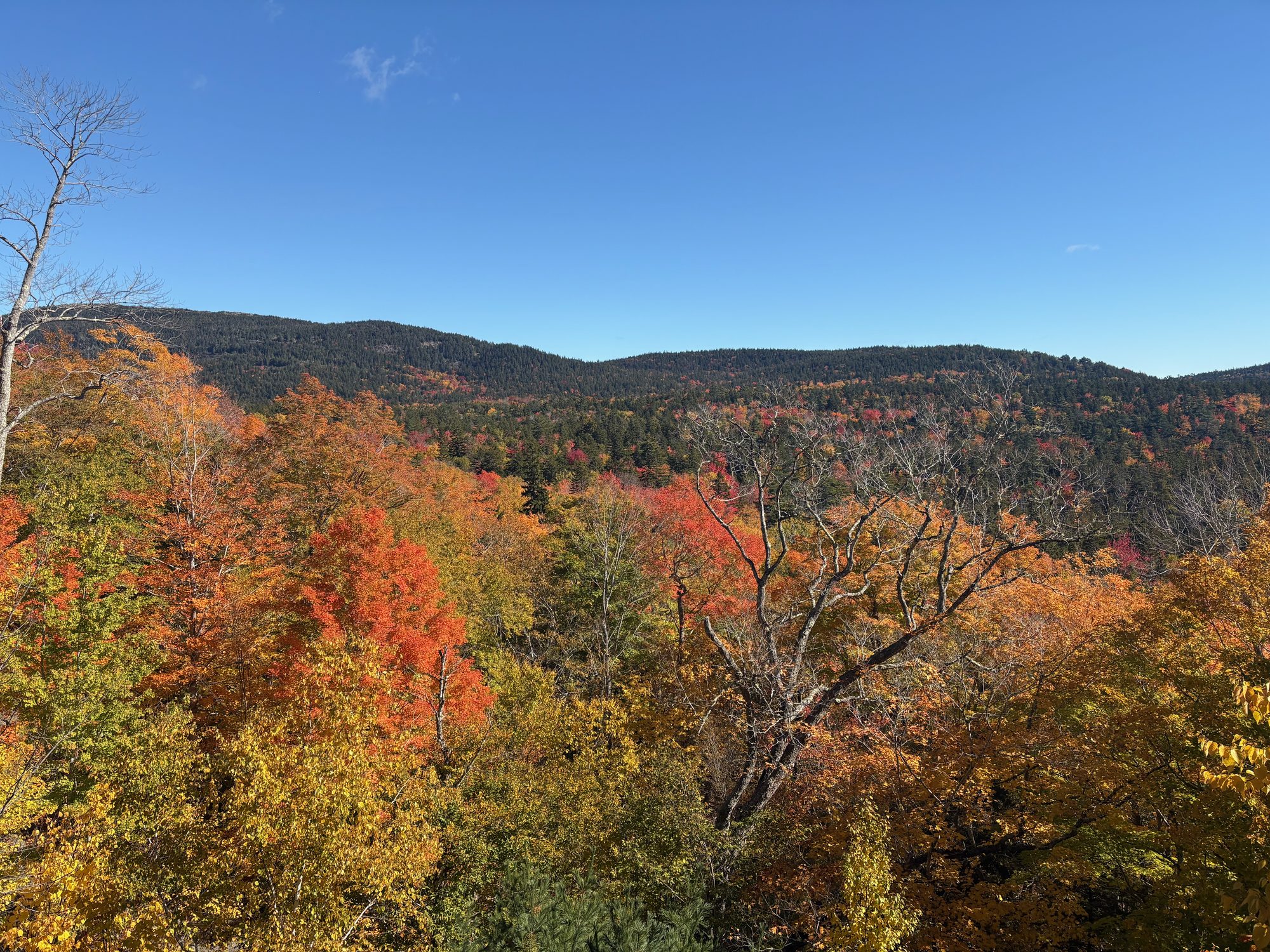
Day 6, Thursday 15 October: Dawn at Otter Cliff, then the carriage roads
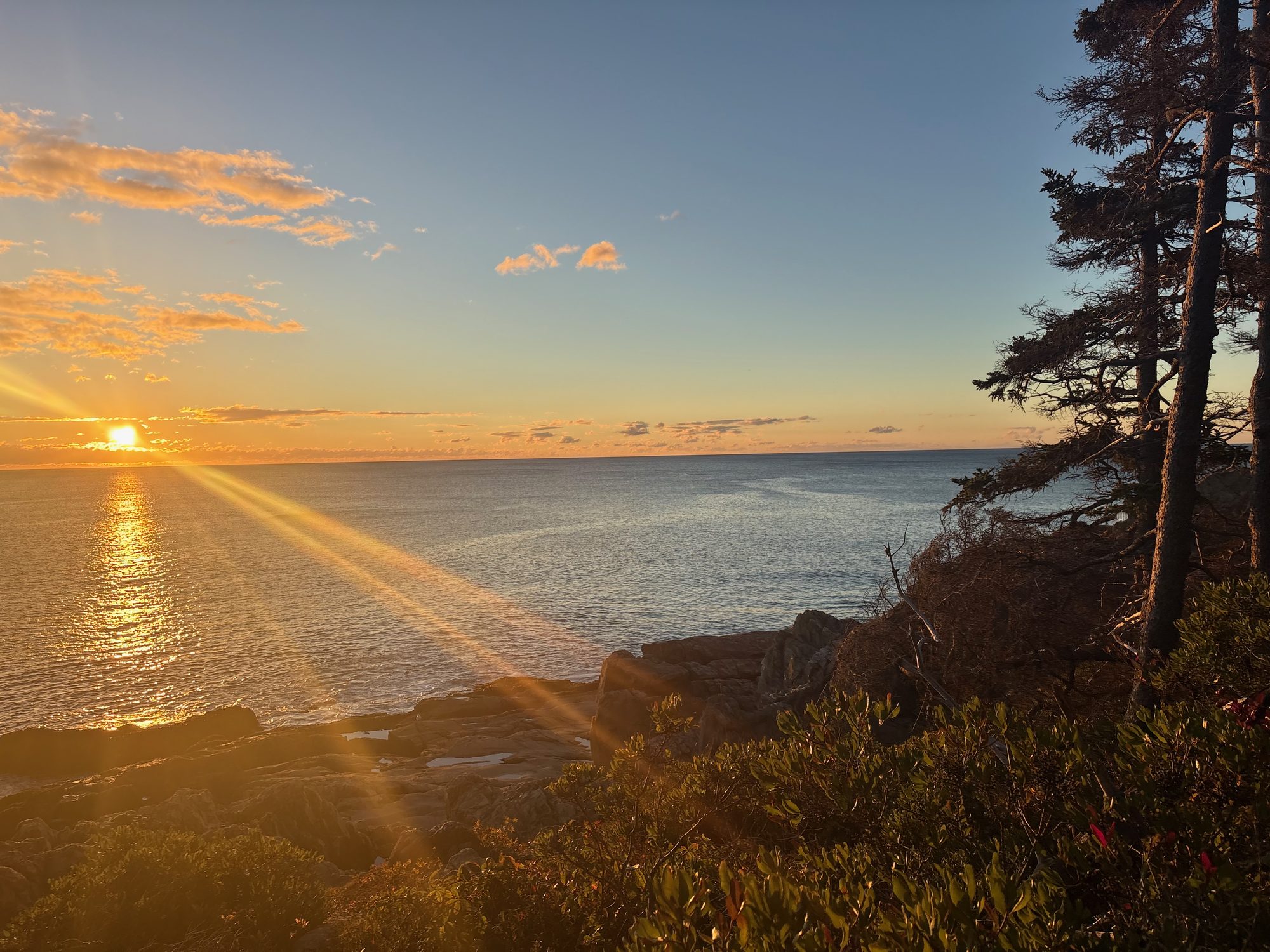
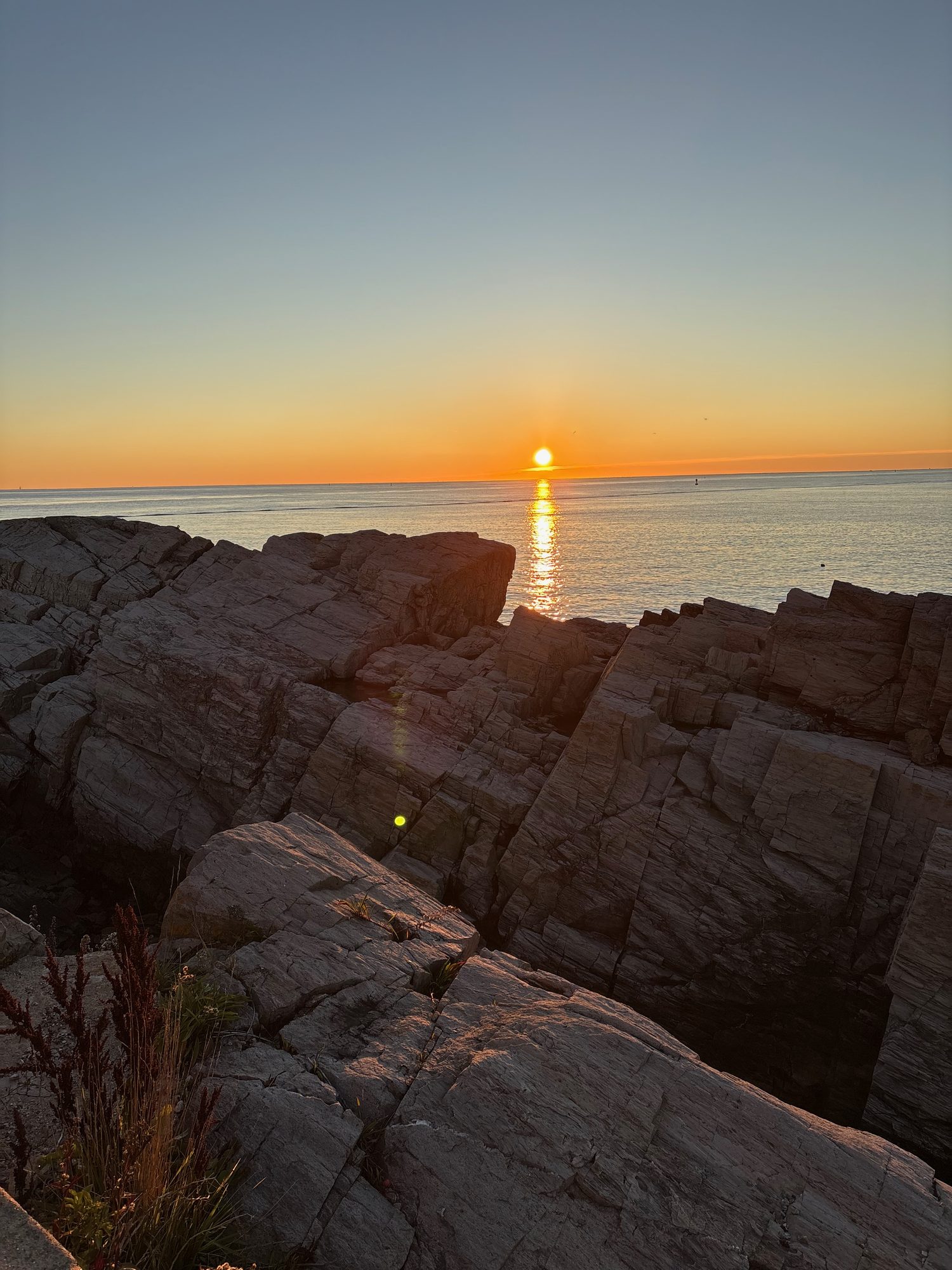
Up at 4, out the door at 4:45, and on the Otter Cliff ledges by five past six - civil dawn at 6:19, sunrise at 6:47, and the Park Loop Road completely empty. This is the single thing from the trip I would do again without changing anything.
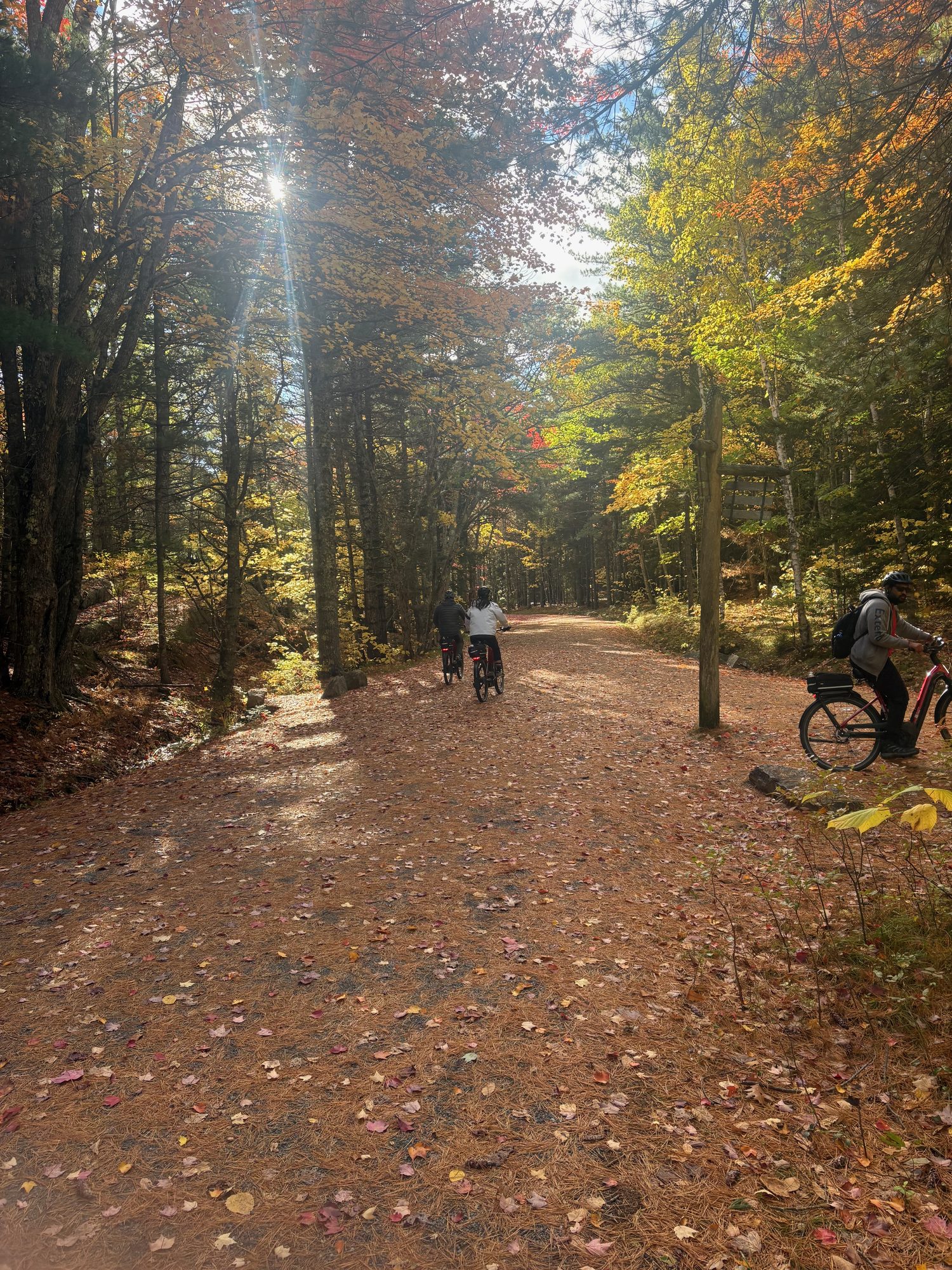
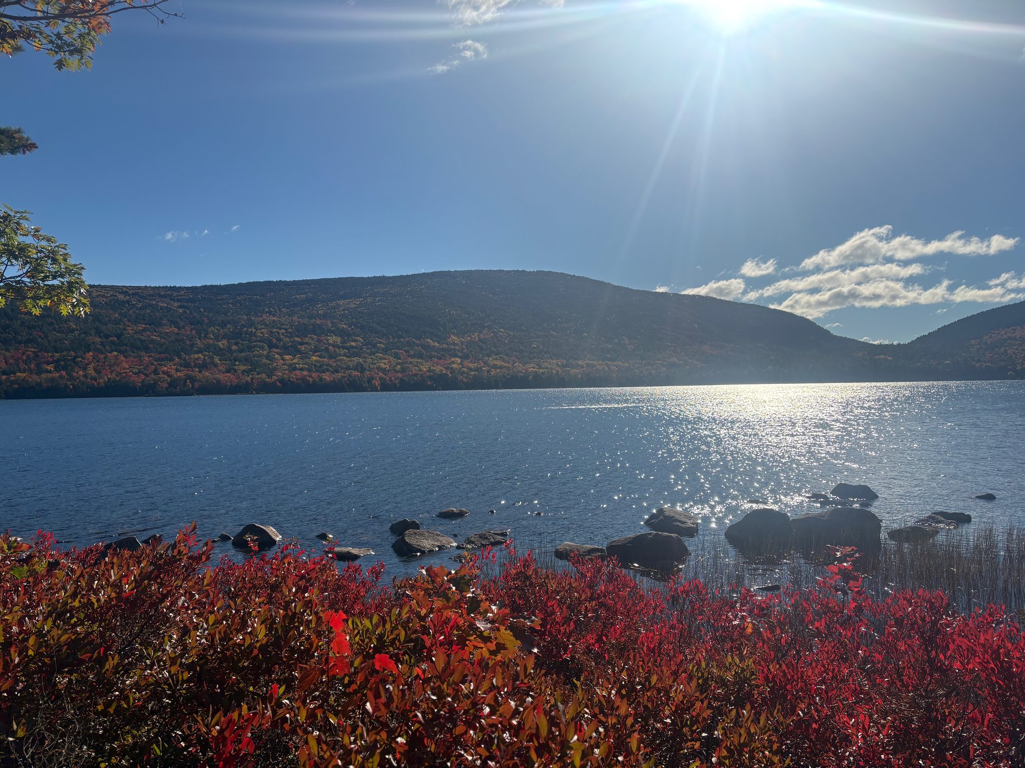
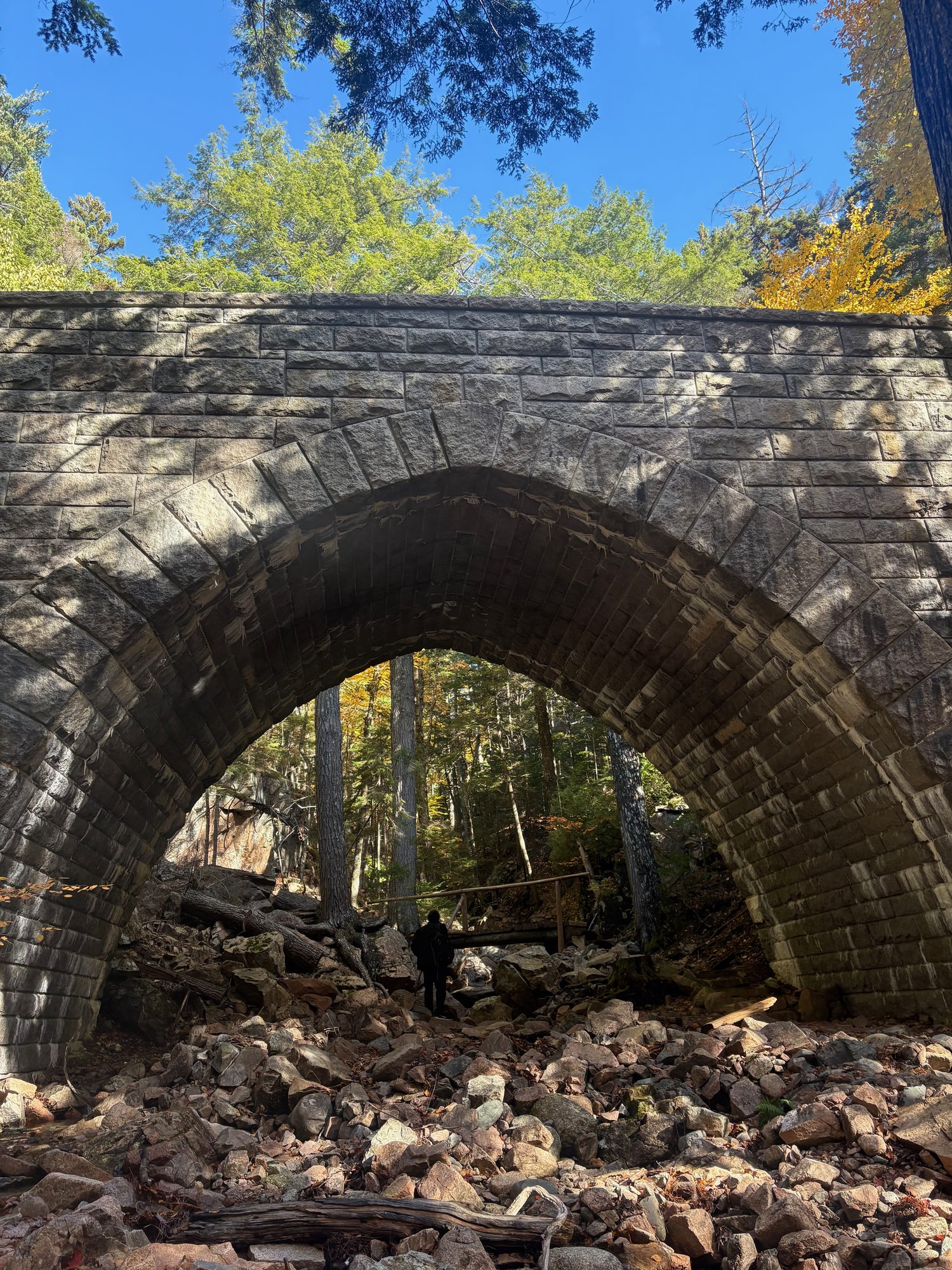
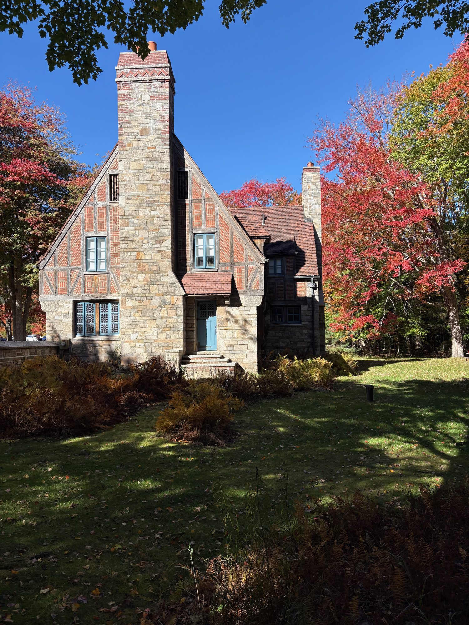
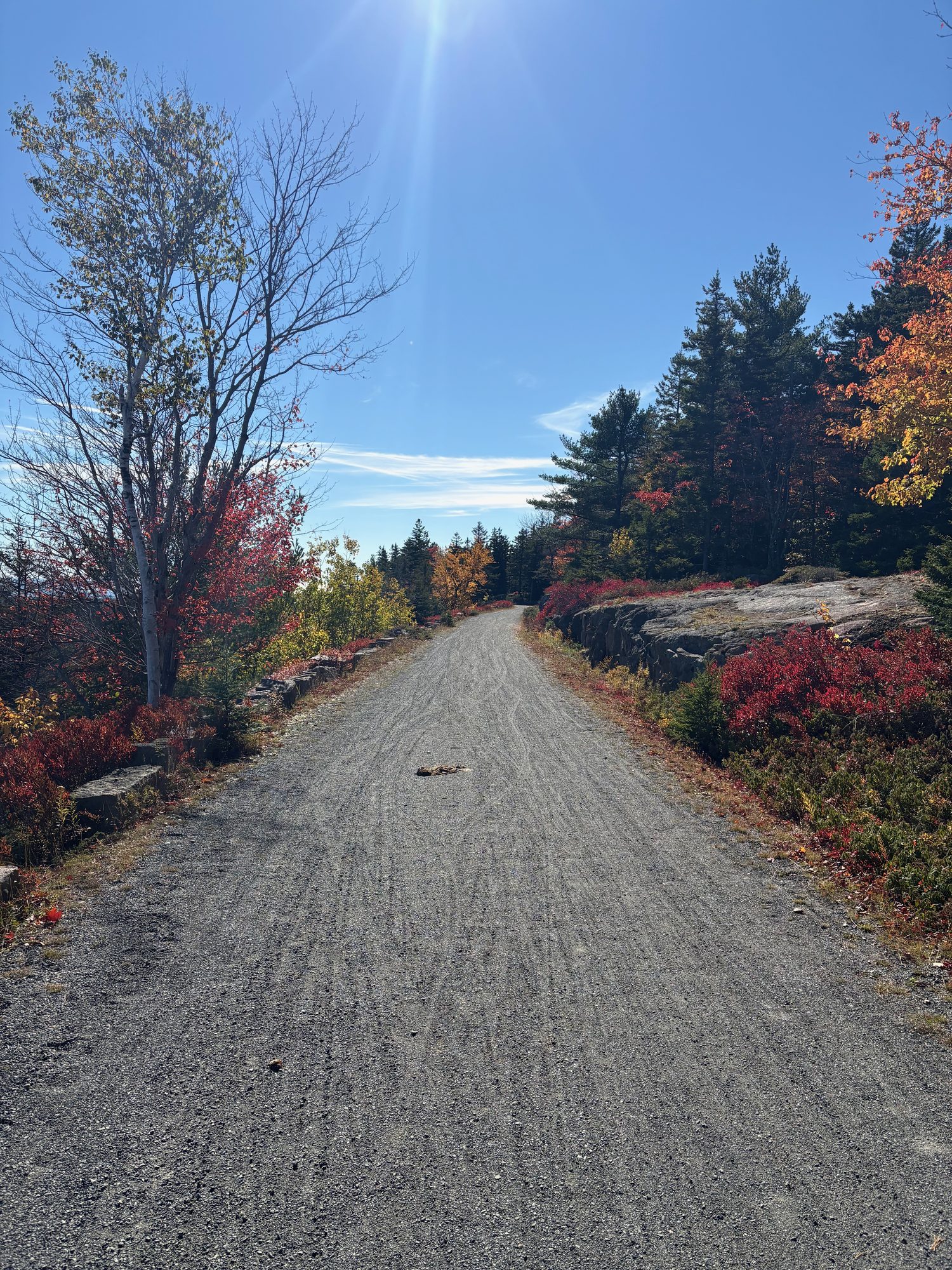
Coffee at Hulls Cove, bikes collected, and then about eighteen miles of carriage road. The climb out of Hulls Cove to Witch Hole Pond is the price of admission; after that it is the east shore of Eagle Lake and a long gentle run south to Jordan Pond House for popovers on the lawn, with the Bubbles sitting at the far end of the water. Back the long way round - the carriage roads south of the pond, Bubble Pond, Eagle Lake again - and the bikes in at twenty past three.
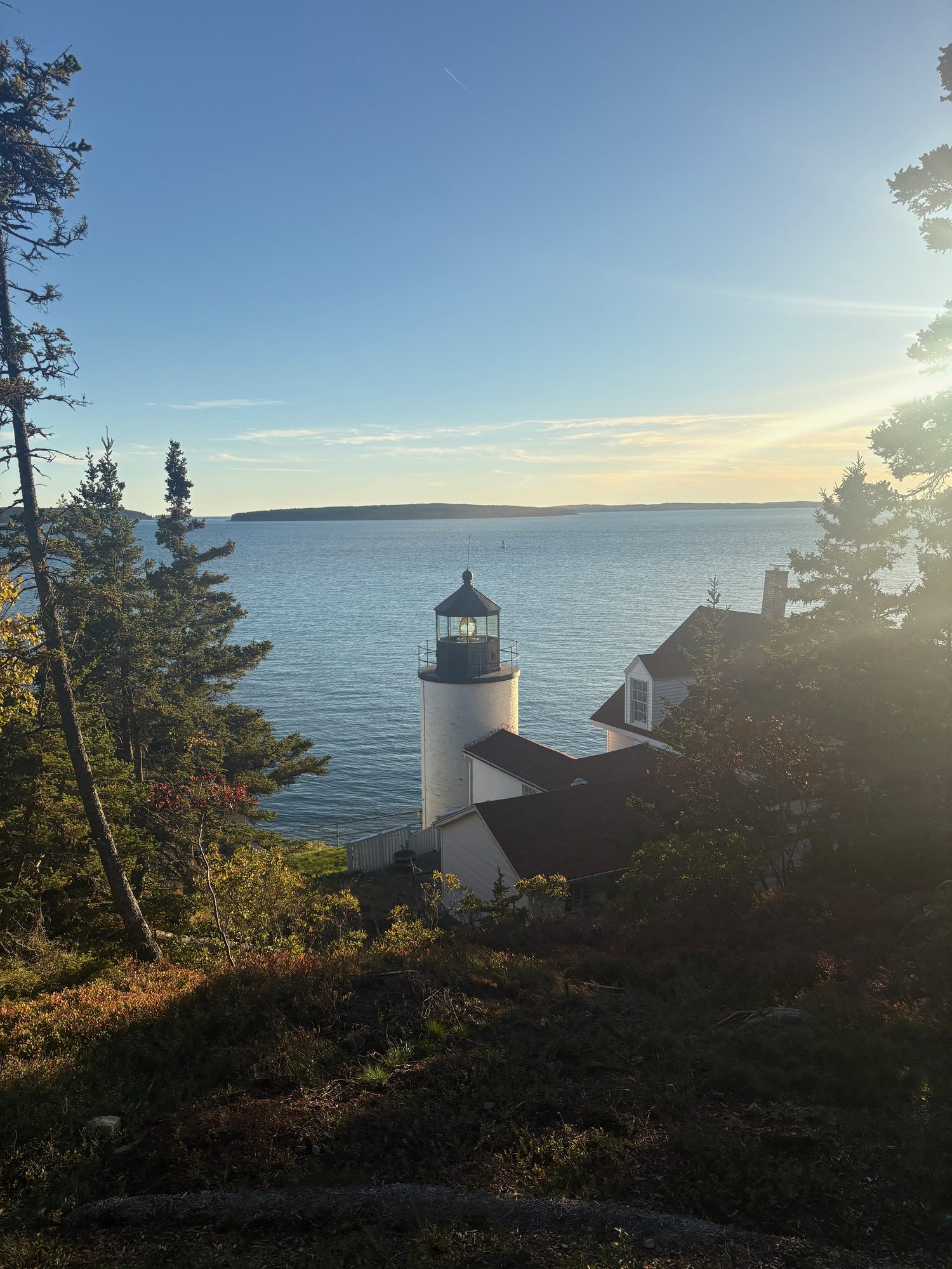
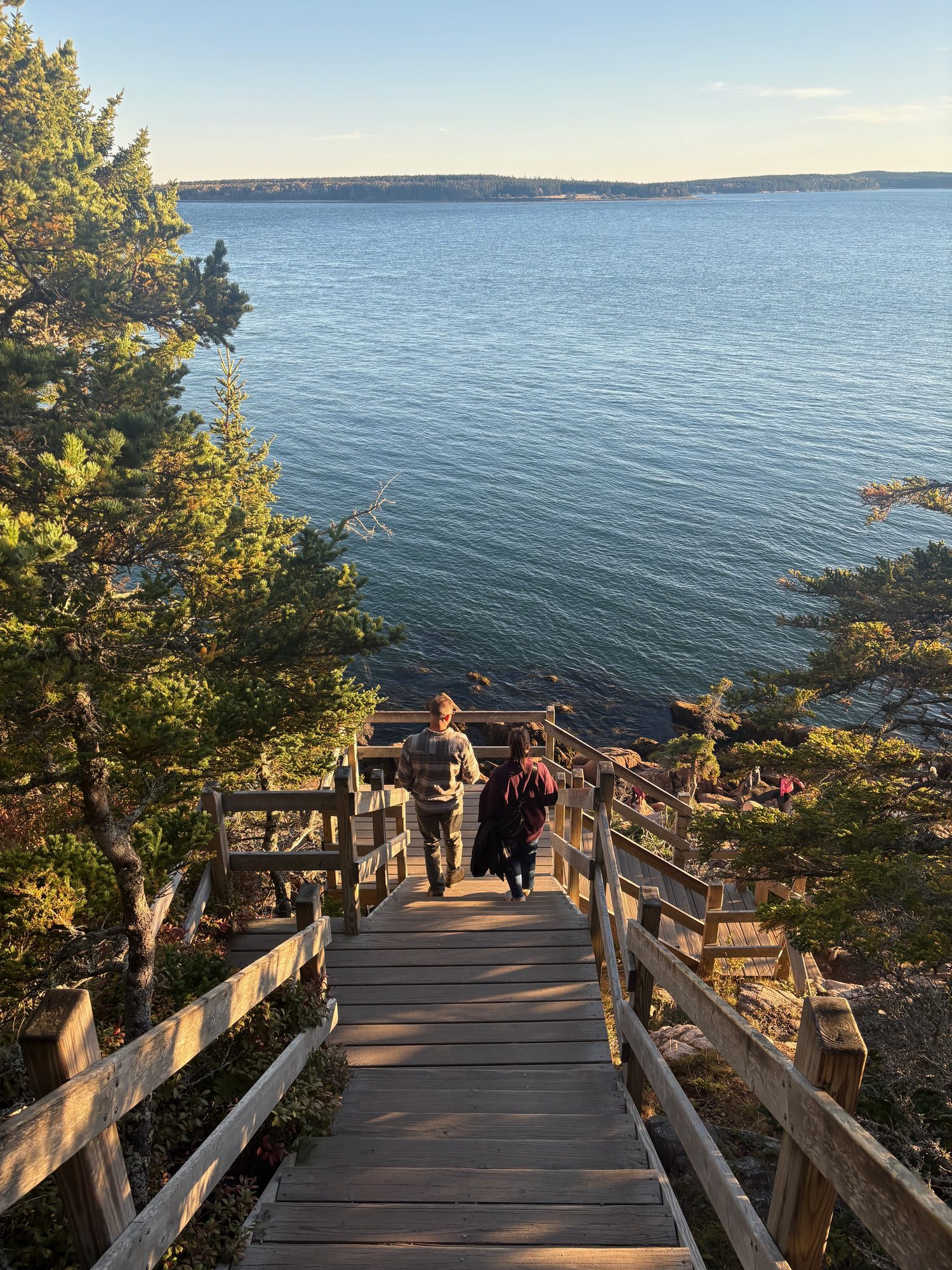
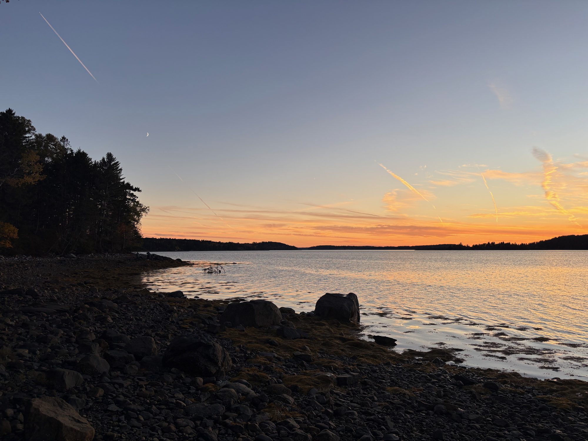
That left an afternoon, and instead of the Park Loop we drove to the quiet half of the island. Bass Harbor Head Light at a quarter to five, down the wooden staircase to the ledges that are the only place you can see it properly from. Then up the west shore to Pretty Marsh, where the sun went into Blue Hill Bay just before six, and dinner in Ellsworth on the way back to Bangor.
Day 7, Friday 16 October: Cadillac at noon, then Schoodic
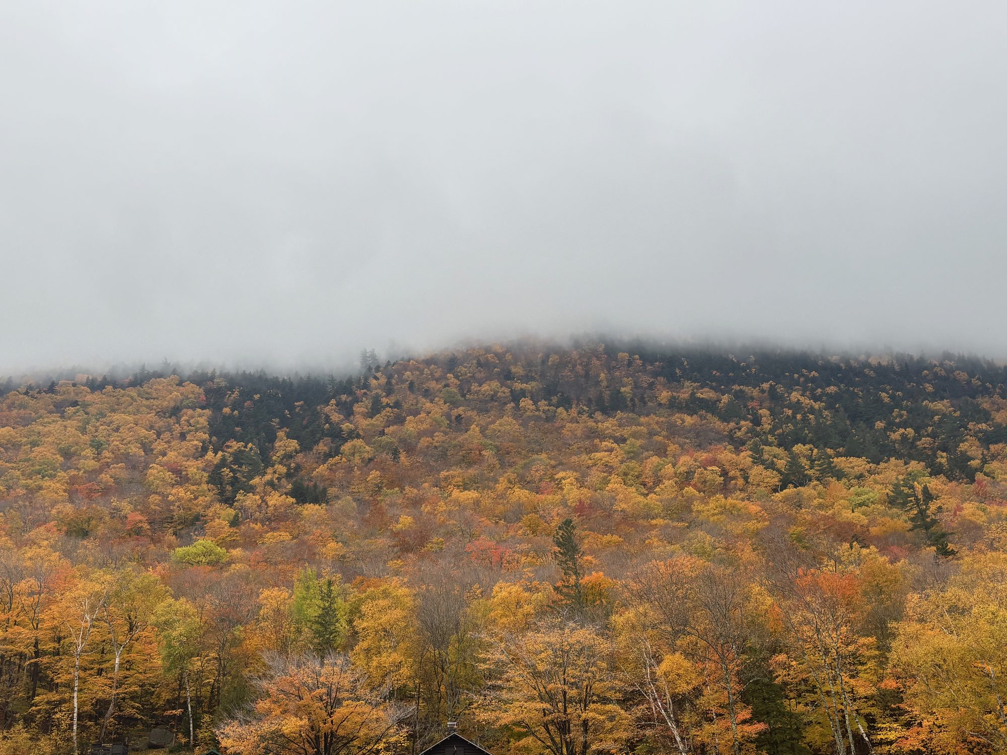
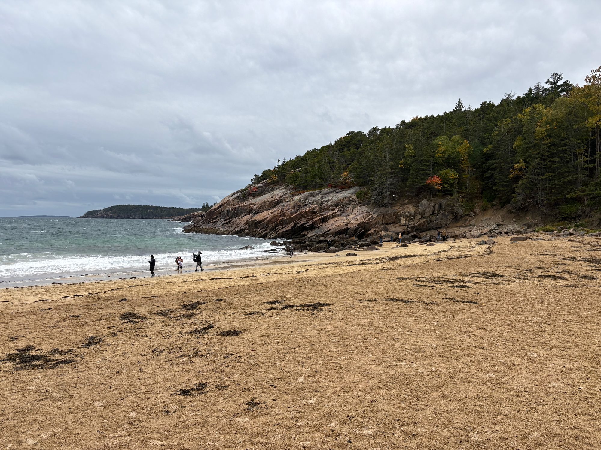
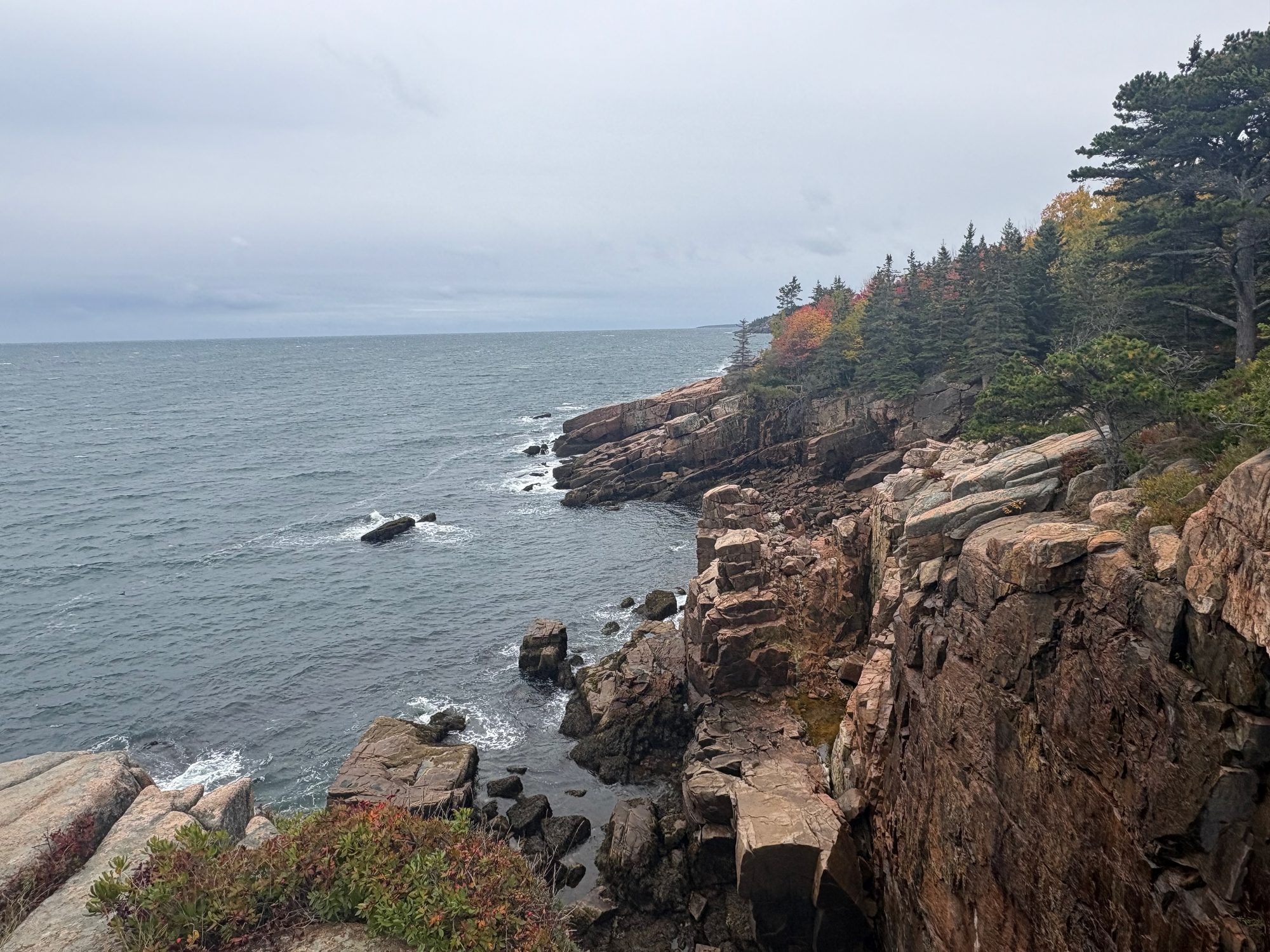
The Cadillac Mountain vehicle reservation we managed to get was 12:30 in the afternoon, not sunrise - which is the entire reason Thursday became the dawn day and the bike day. So Friday morning went to the Park Loop instead, in flat grey light: Sand Beach with three people on it, the pink granite between Otter Point and Monument Cove, and Thunder Hole at noon, on the wrong half of the tide for the second time in two days.
Not one photograph survives from the summit, which tells you roughly what the visibility was.
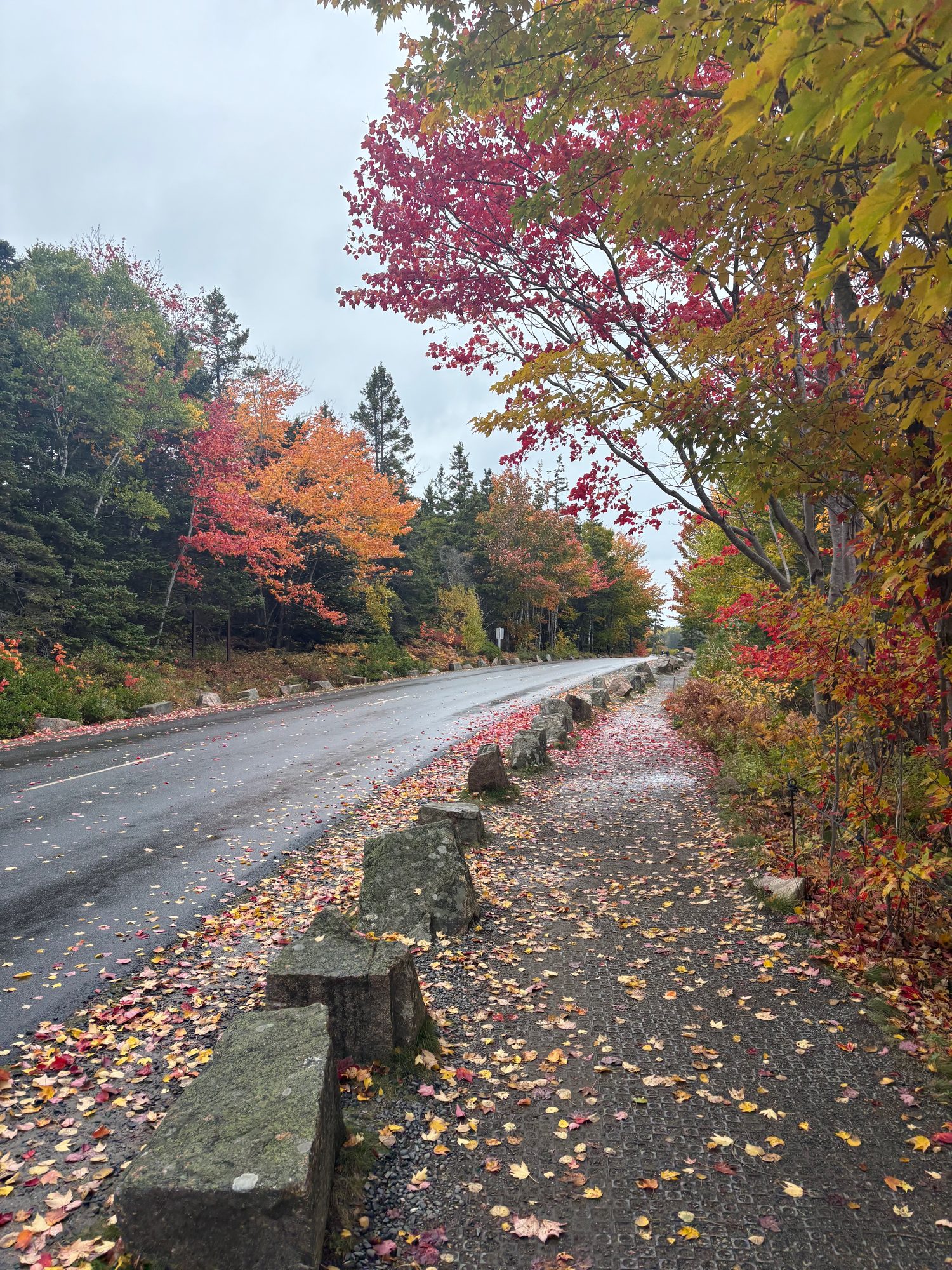
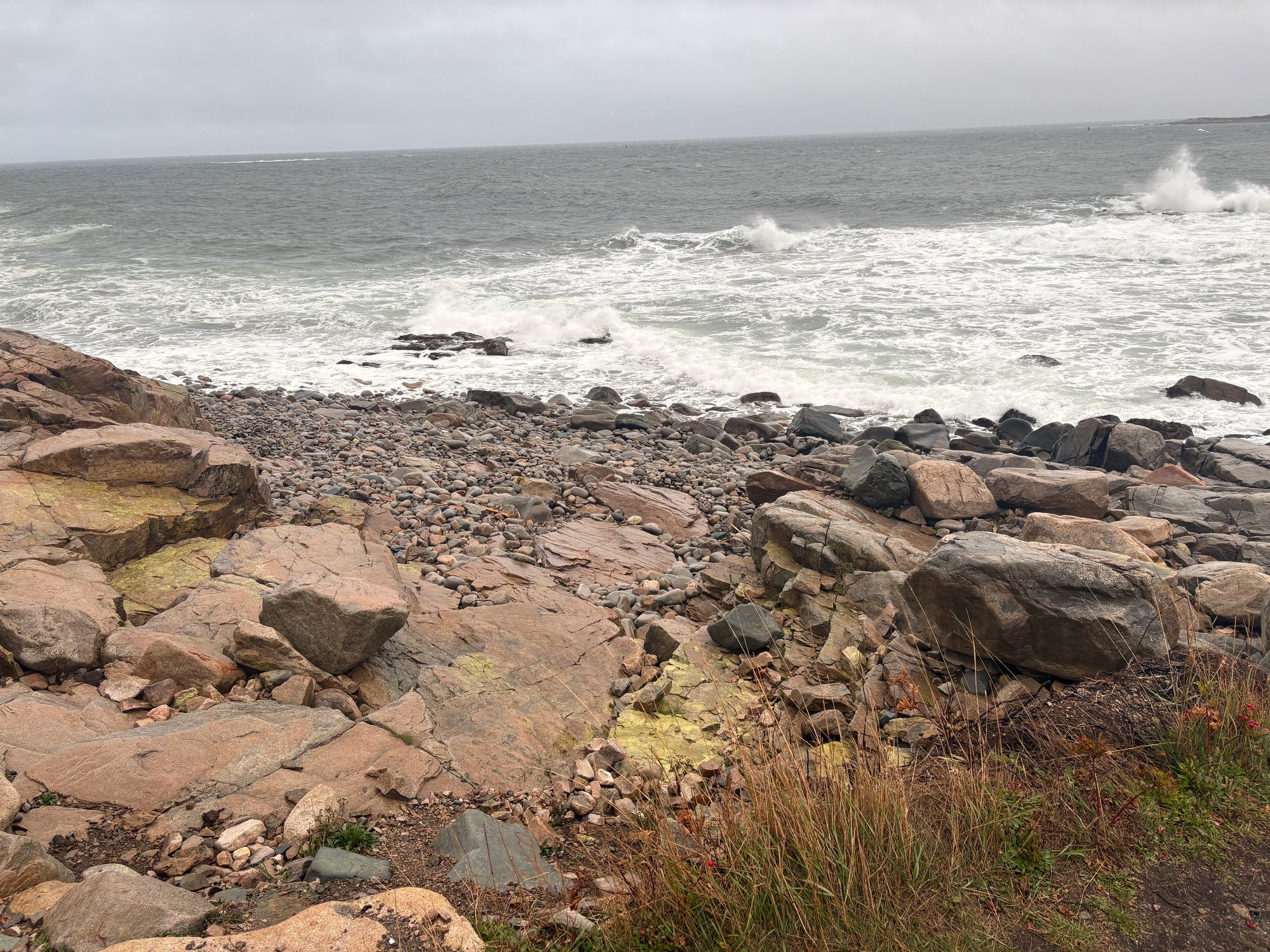
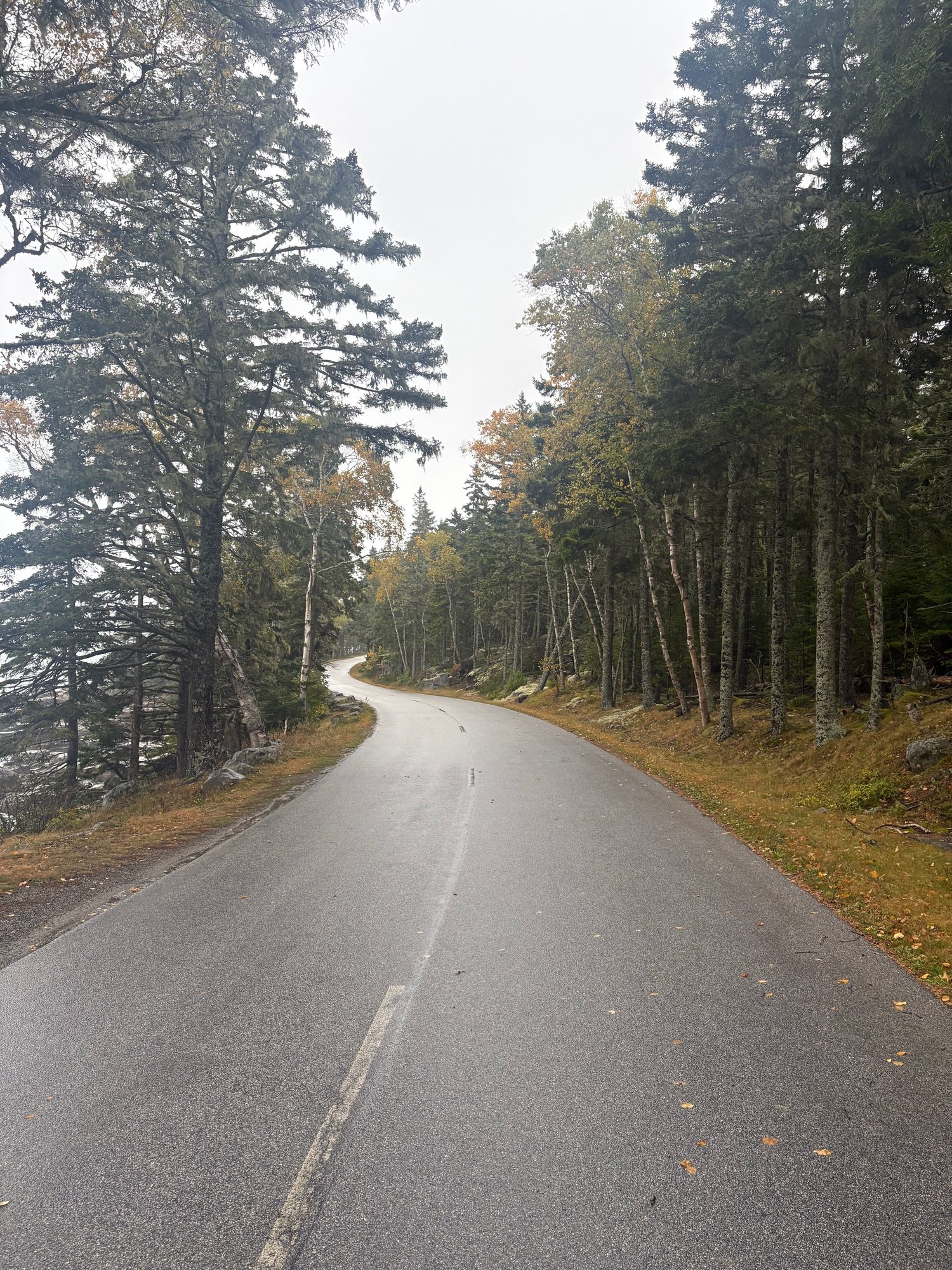
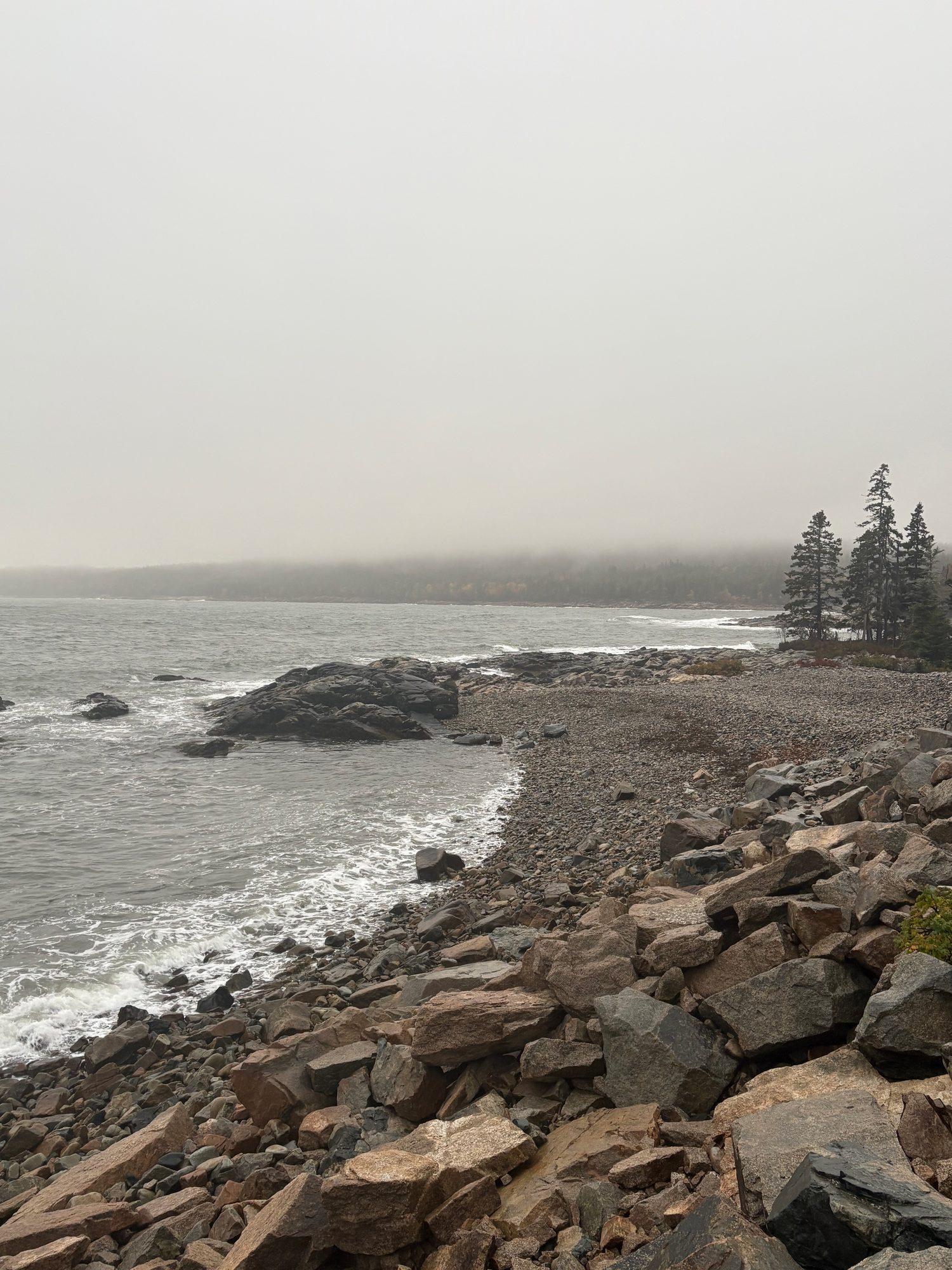
The afternoon more than made up for it. Schoodic is the piece of Acadia on the mainland, an hour round the top of Frenchman Bay, and almost nobody goes - we had the six-mile one-way loop basically to ourselves. The unmarked pull-off at Raven’s Nest, a chasm full of basalt dikes. Surf coming onto the pink ledges at Schoodic Point. The Anvil Trail, 2.6 miles and 450 feet up to Schoodic Head. By late afternoon the fog had come in off the water and the road through the spruce had gone soft and grey, which suited the place entirely. Dinner in Ellsworth in the dark, then down to Belfast for the coastal run.
Day 8, Saturday 17 October: Down the mid-coast
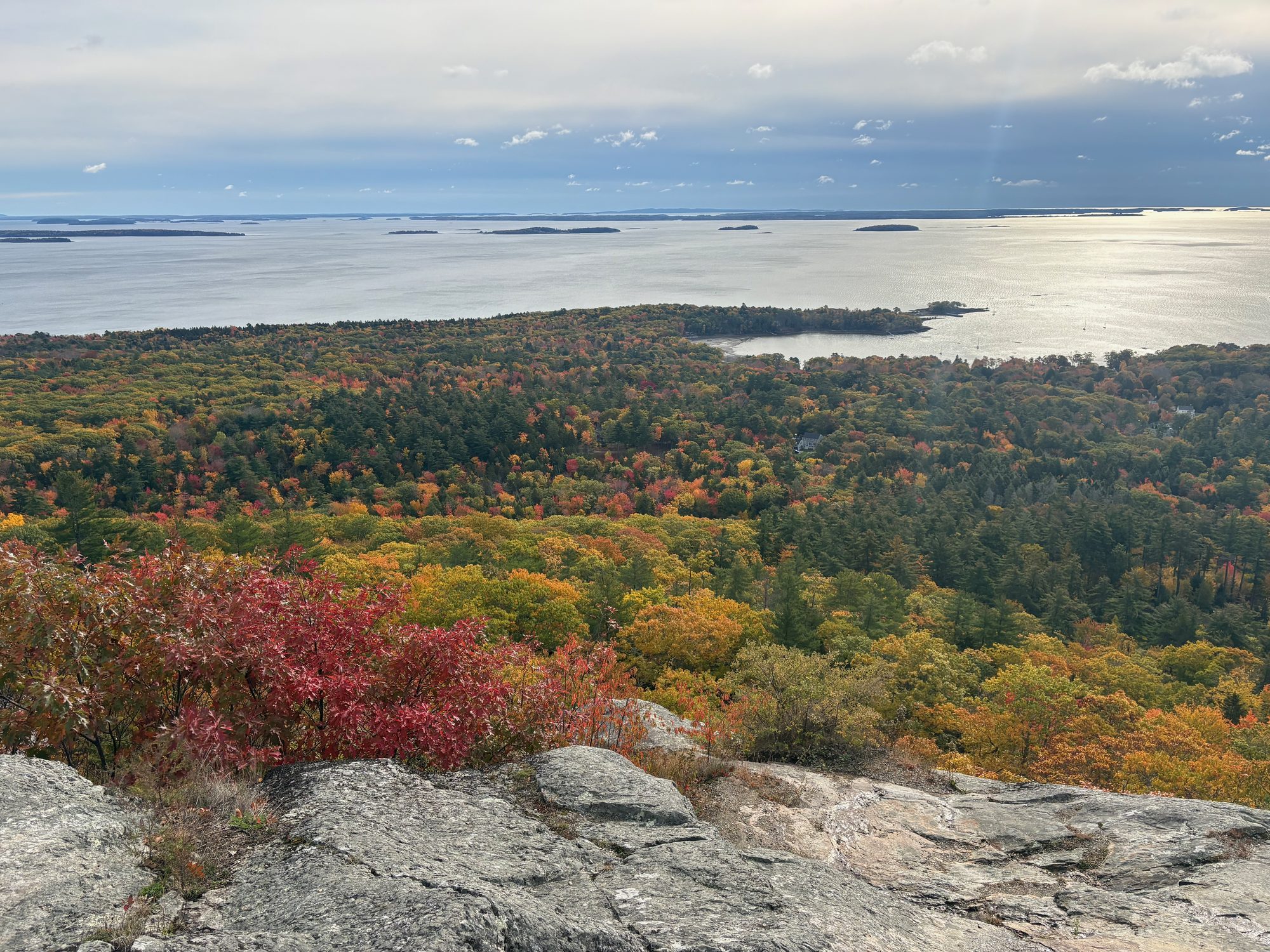
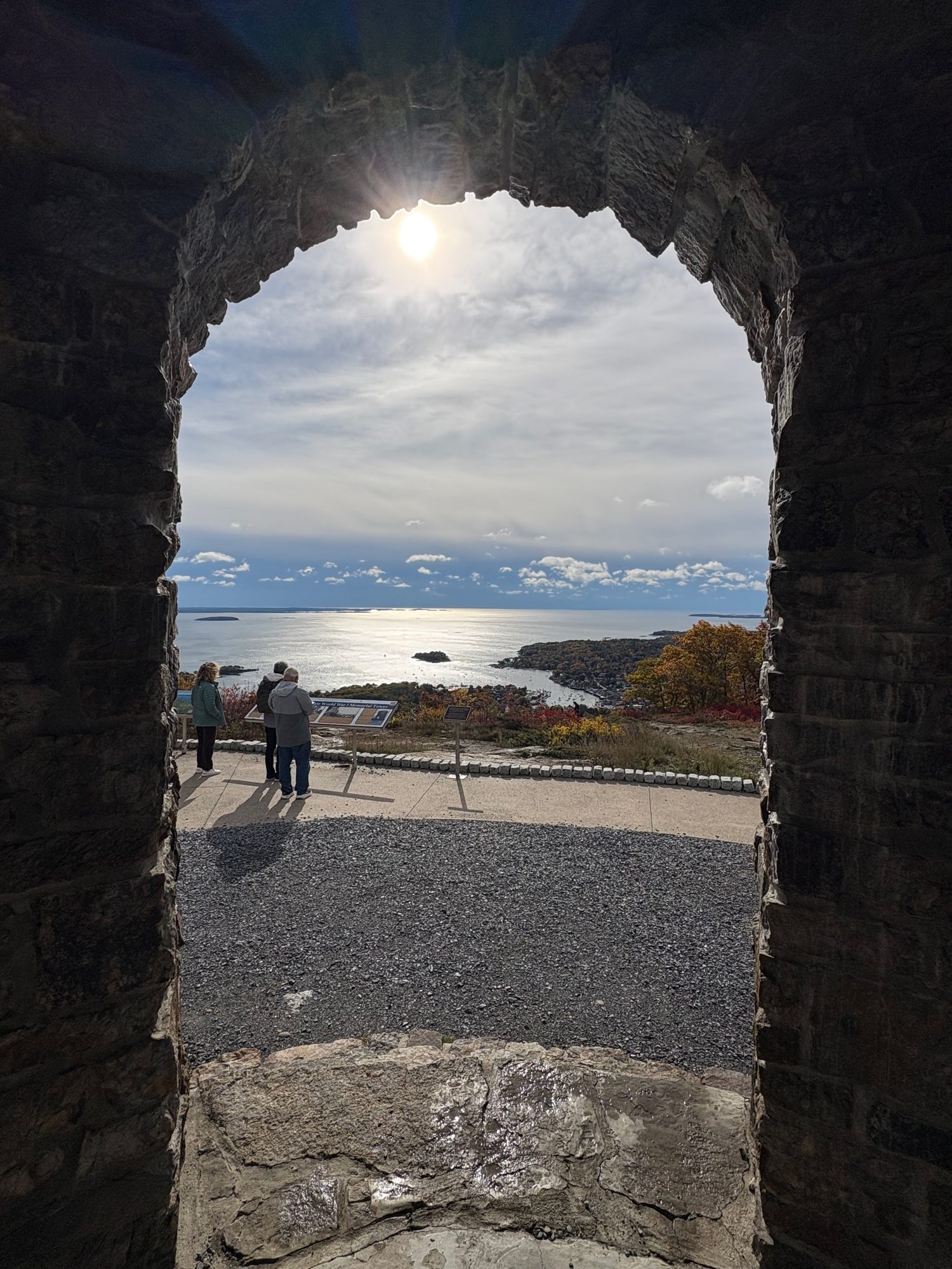
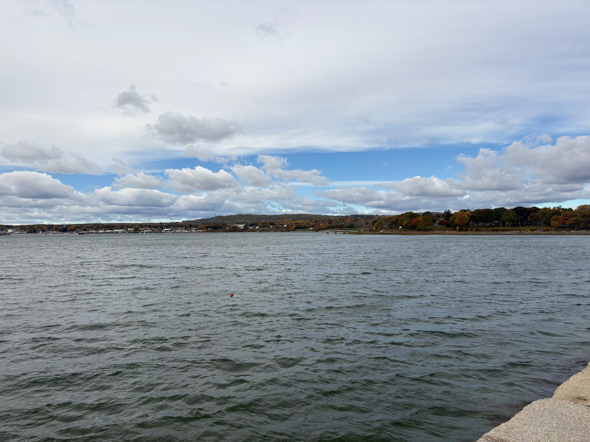
South out of Belfast on US-1 with the sun low over the water, and then up the auto road to Mount Battie. It is a cheat of a summit - you drive to the top - but the view is the whole of Penobscot Bay and its islands, the blueberry on the summit ledges is scarlet by the third week of October, and the stone tower frames the bay like a postcard somebody built on purpose.
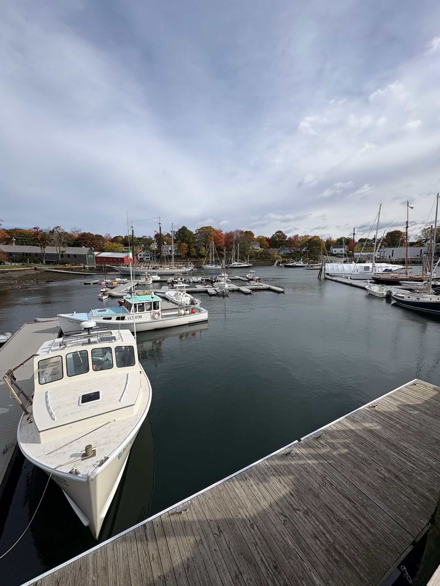
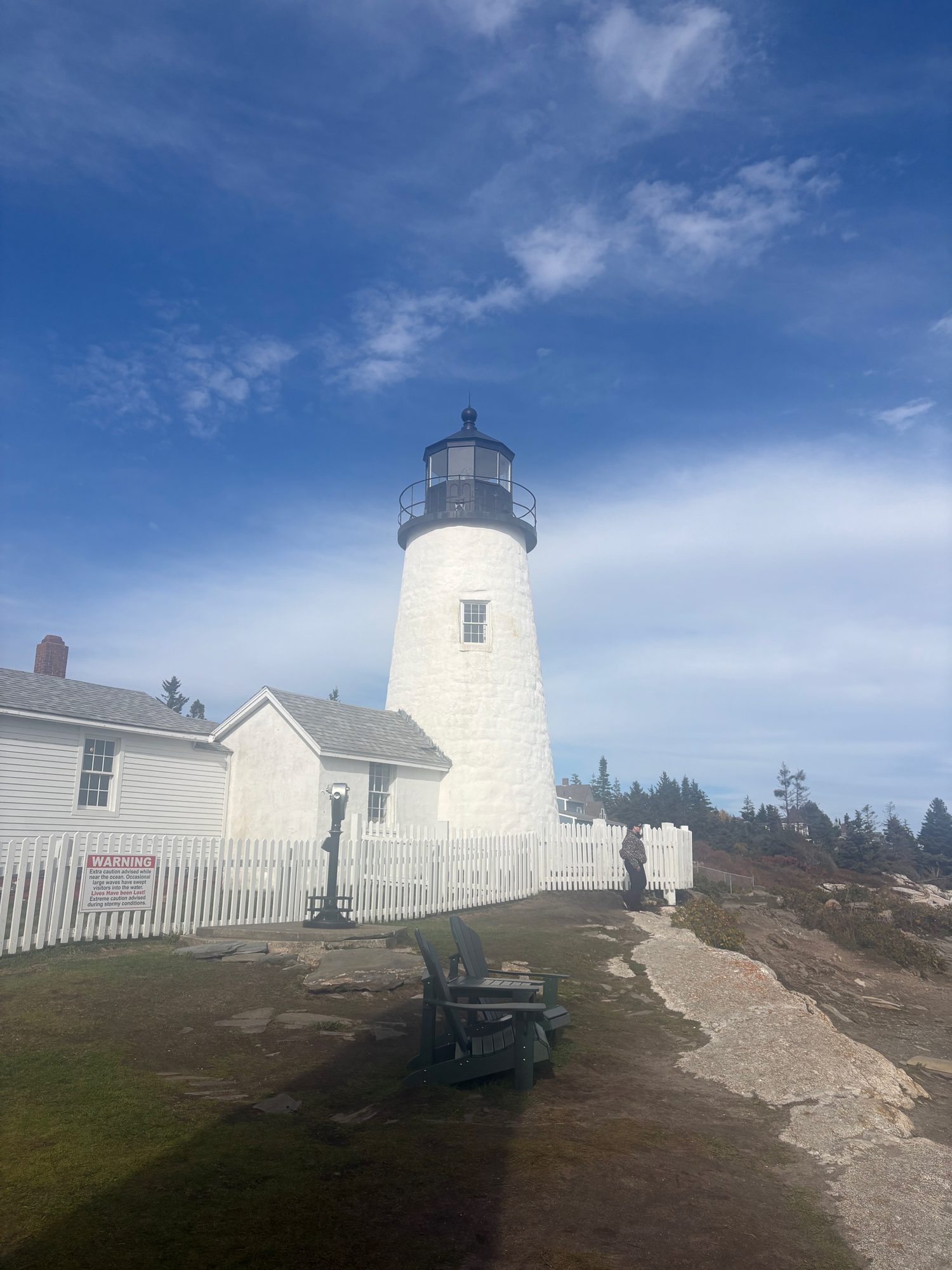
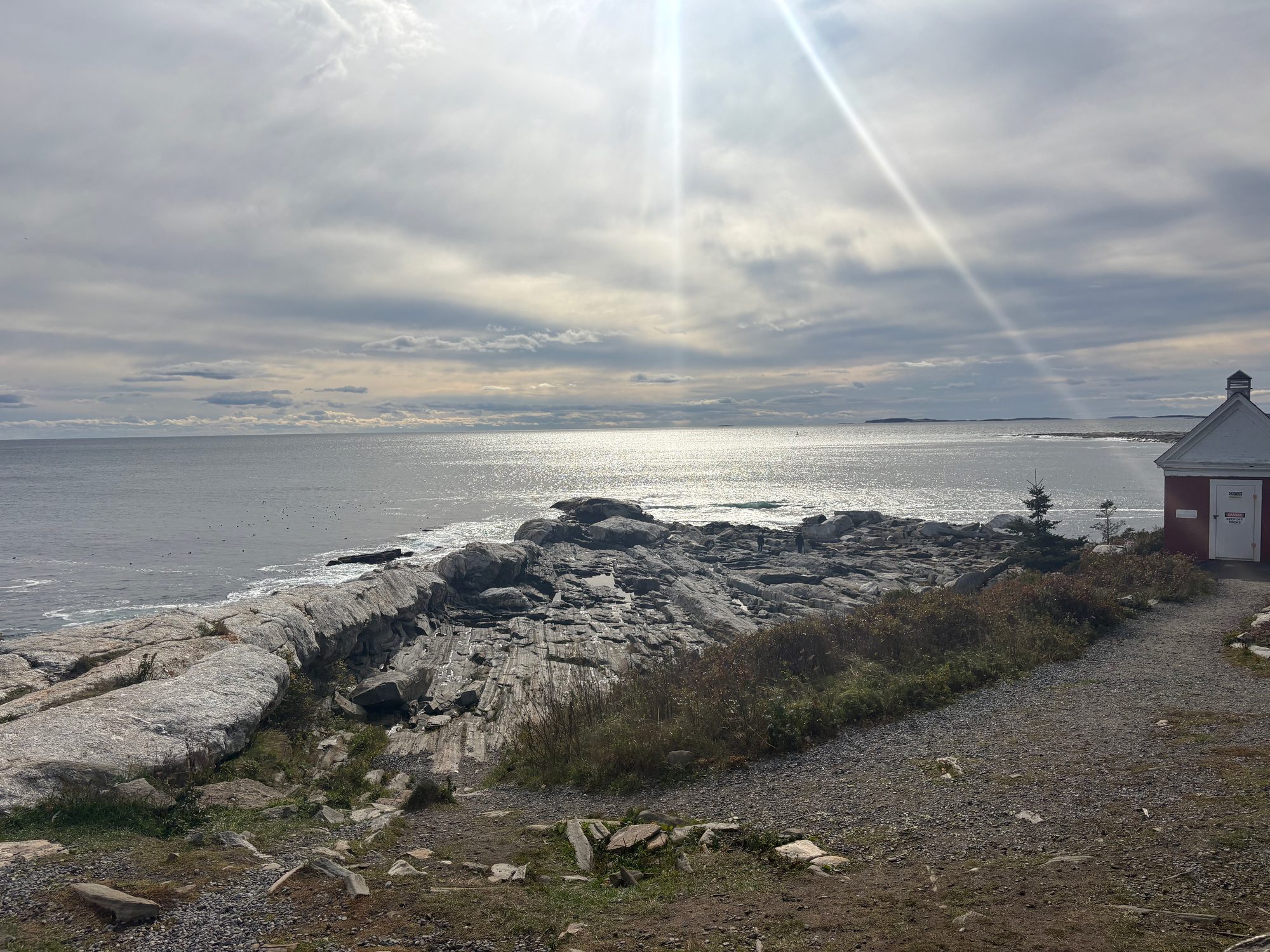
Down into Camden for the schooner harbour and Rockland for the working one. Then the afternoon’s detour, and the best decision of the day: an hour out a side peninsula to Pemaquid Point, where the granite has been tilted up on edge and planed off into long diagonal ribs running straight into the sea, with the lighthouse from the Maine quarter standing on top of it. Bath on the way through, and Portland by a quarter past six.
Day 9, Sunday 18 October: Portland Head Light at dawn, and the long way in
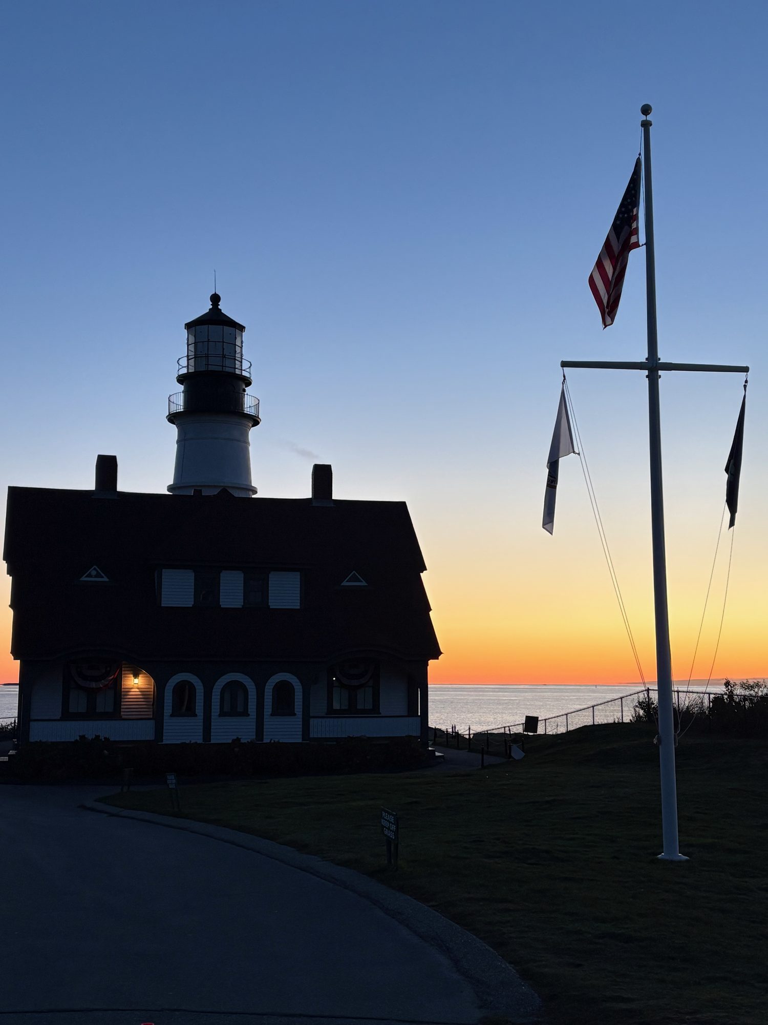
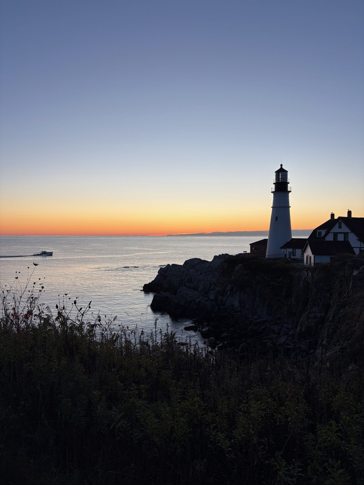
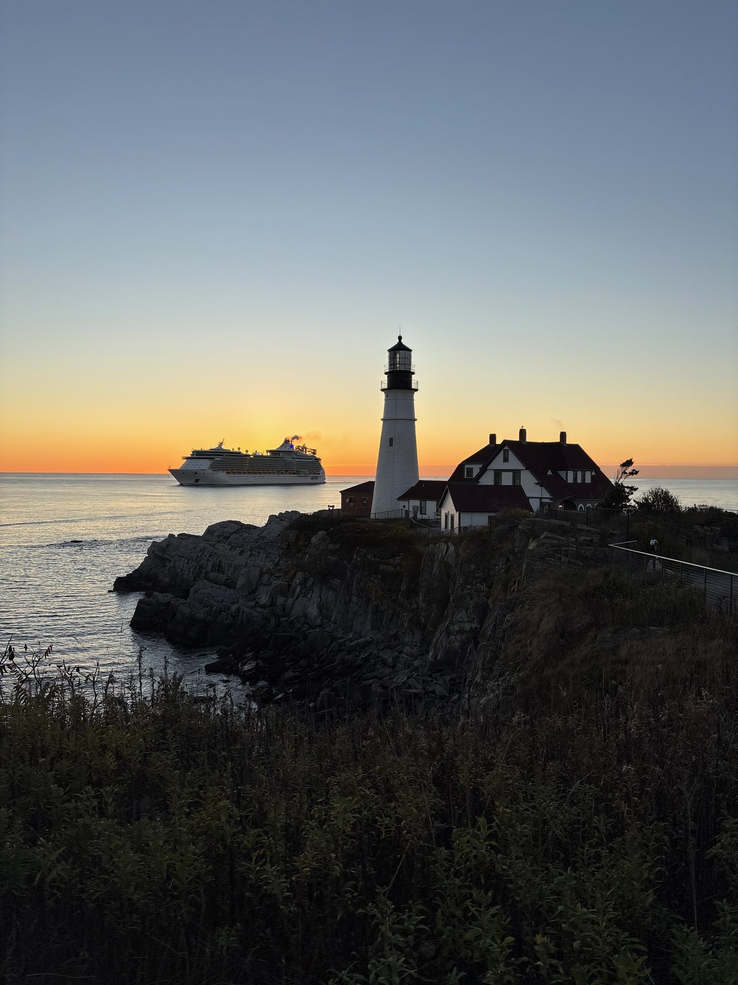
Out before six on the last morning to be at Portland Head Light for sunrise, which was the right call: twenty minutes of orange horizon behind the tower, a cruise ship sliding across it, and the sun finally clearing the water a little after seven. It is the most photographed lighthouse in the country and at twenty to seven in October you get it very nearly to yourself.
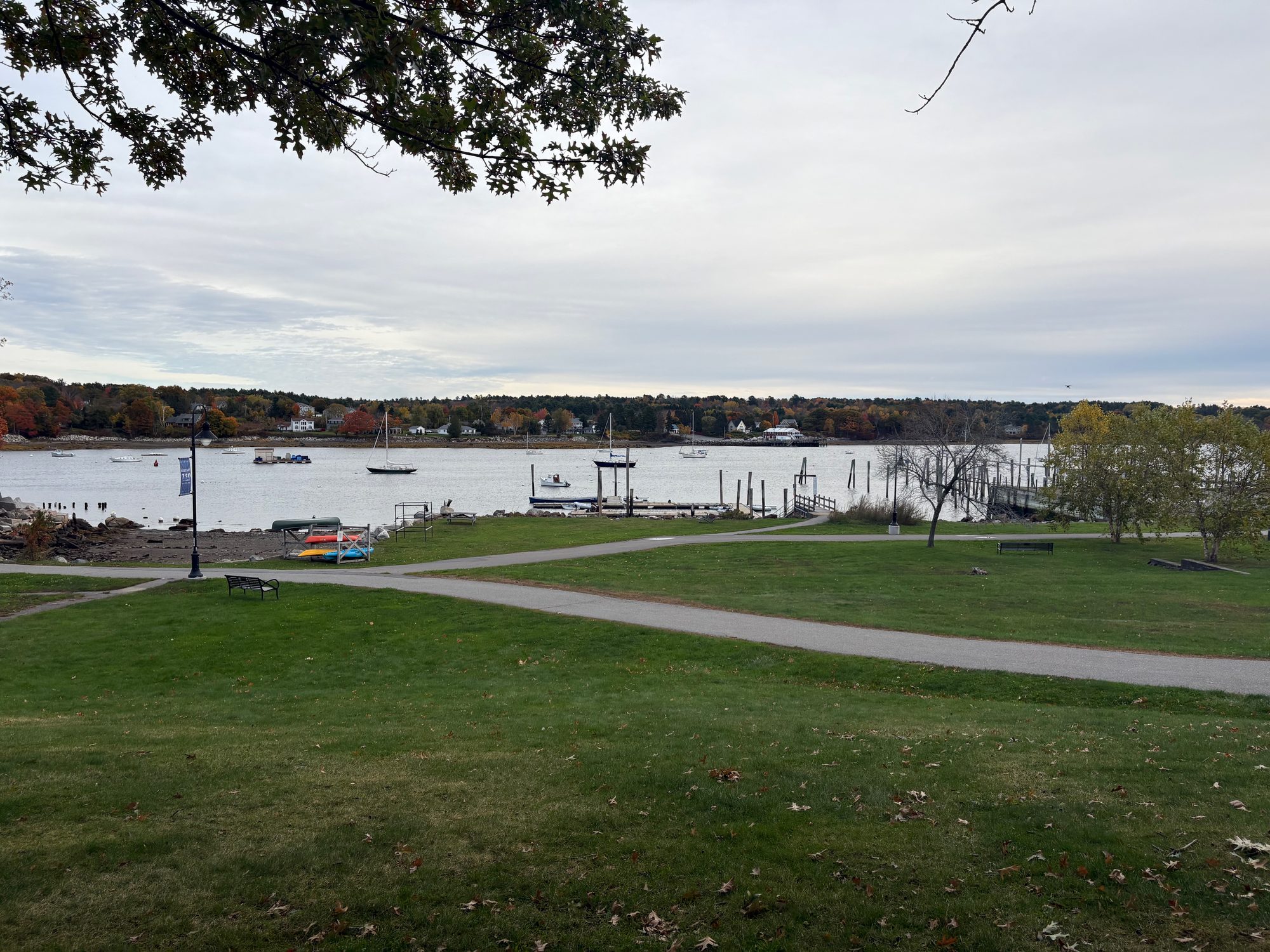
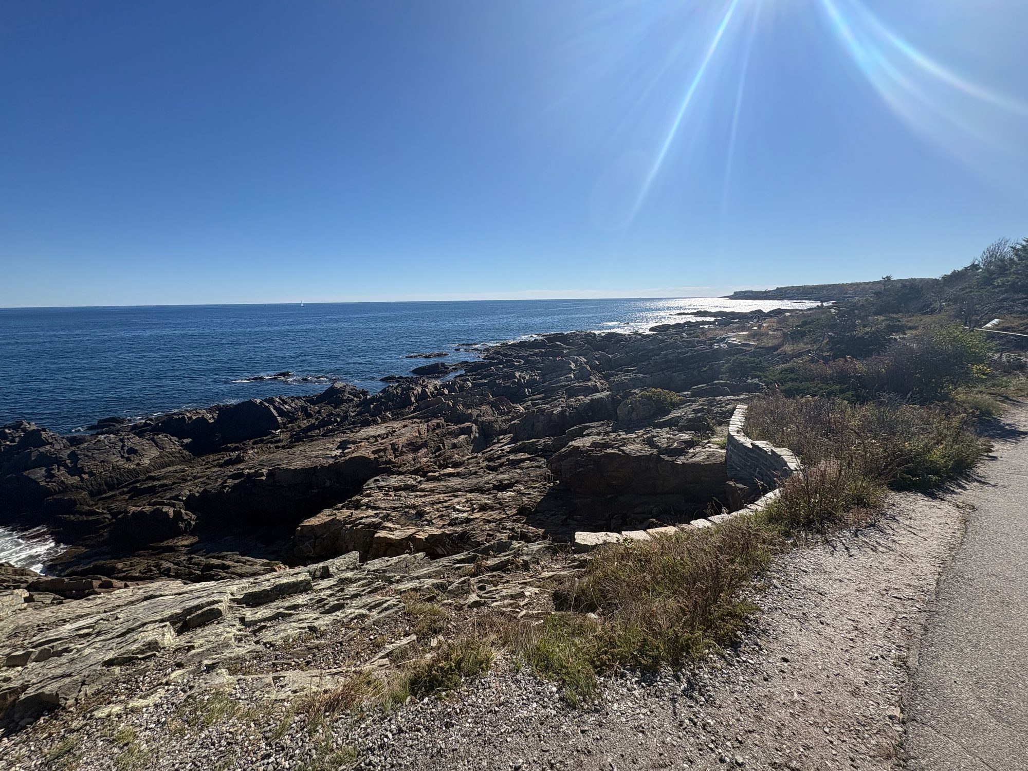
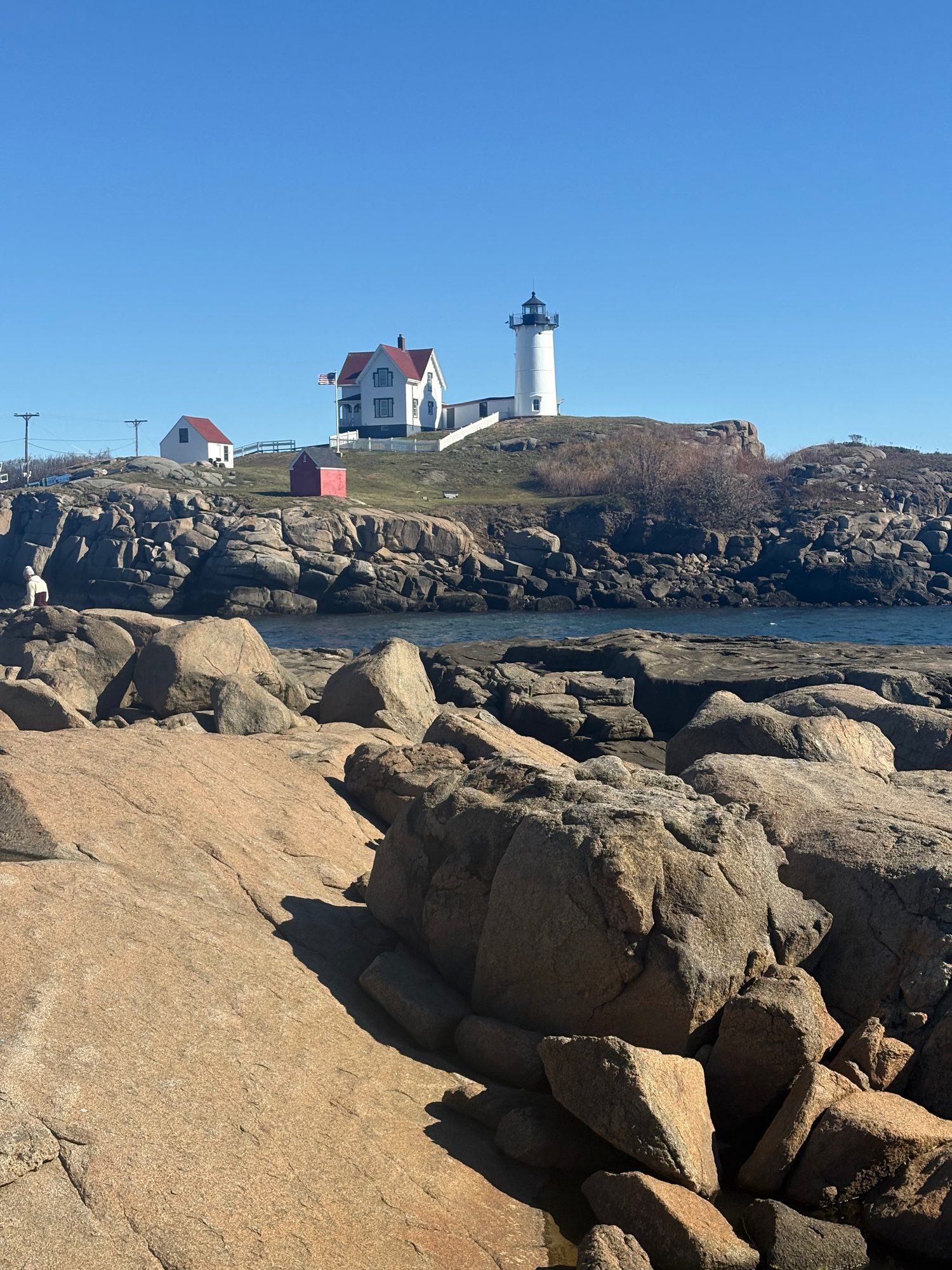
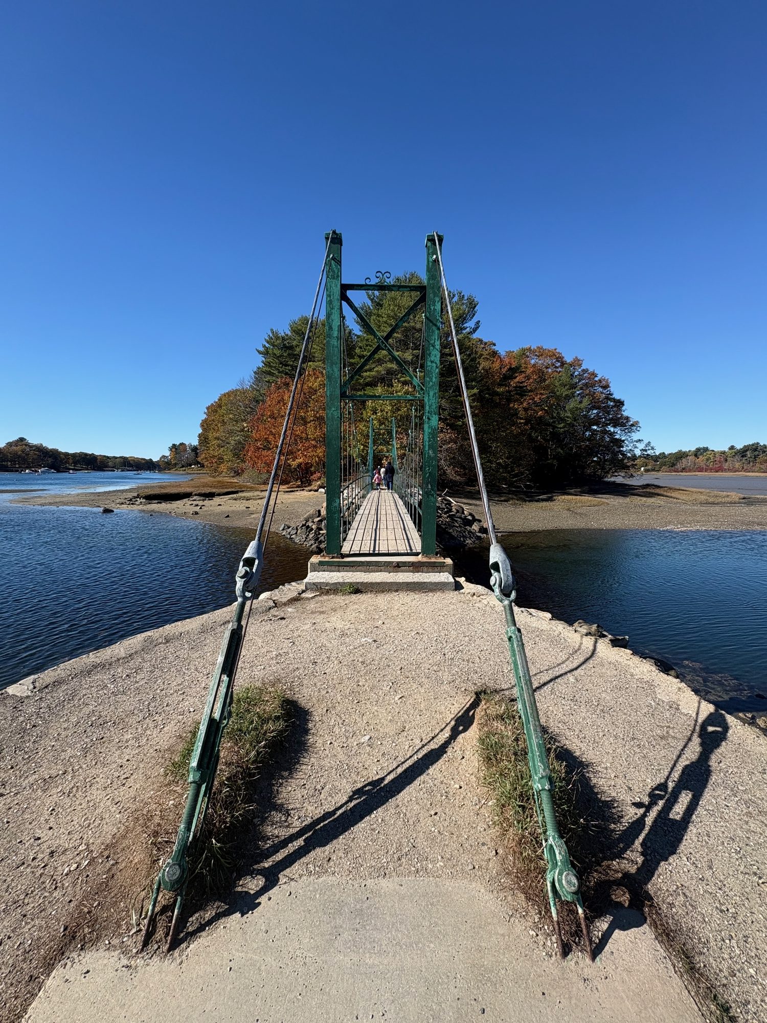
After that the day was deliberately slow. The Marginal Way at Ogunquit is a mile and a quarter of paved cliff path above the Atlantic, and the best hour of the trip’s last day. Nubble Light sits on its own small island off Cape Neddick, close enough inshore to look like a model of itself. And in York, the Wiggly Bridge - a suspension footbridge roughly the size of a garden gate, which claims to be the smallest in the world and is not obviously lying.
Then I-95, and Boston, nine days after leaving it.
Trip Details
Duration: October 10-18, 2026 (8 nights)
Route: Boston → Concord → Lake Winnipesaukee → Quechee → Woodstock → Rutland → Route 100 → Appalachian Gap → Fort Ticonderoga → Burlington → Smugglers’ Notch → Stowe → Montpelier → Franconia Notch → Kancamagus → Crawford Notch → Grafton Notch → Bangor → Acadia → Bass Harbor → Schoodic → Belfast → Mount Battie → Rockland → Pemaquid Point → Portland → Ogunquit → York → Boston
States: Massachusetts, New Hampshire, Vermont, New York, Maine
Stayed: Rutland VT · Burlington VT · Lincoln NH · North Conway NH · Bangor ME (×2) · Belfast ME · Portland ME
Hikes: Table Rock (2.4 mi, 900 ft) · Flume Gorge loop (2 mi) · Anvil Trail to Schoodic Head (2.6 mi, 450 ft) · Marginal Way (1.25 mi)
Rode: ~18 miles of Acadia carriage roads
Lighthouses: Bass Harbor Head · Pemaquid Point · Portland Head · Nubble
Notes To Self
- Run the loop in the direction the colour runs. Vermont first, the coast last. Going the other way means arriving everywhere a fortnight early or a fortnight late.
- Build in half a day of slack per three days of driving. We lost roughly that much by day three and never got it back - and the thing that went was Artist’s Bluff, the view we’d actually planned for.
- Route 100 is the point, not the connector. Thundering Brook, Granville Gulf and Warren Falls are all inside twenty minutes of each other and all worth stopping for.
- Smugglers’ Notch takes twice as long as the map says, and it’s closed from roughly November to May. Check before relying on it.
- Acadia’s vehicle reservation decides your week, not the other way round. We got 12:30 on Friday, spent it inside a cloud, and moved everything good to Thursday. Book the day the window opens, then plan.
- Dawn at Otter Cliff beats sunrise on Cadillac - no reservation, no shuttle, no crowd, and better foreground.
- Thunder Hole only works near high tide. We tried twice and got the wrong half of the cycle both times. Look the table up the night before.
- The west side of Mount Desert Island is the half nobody drives. Bass Harbor Head and Pretty Marsh on a clear evening were worth more than the Park Loop was that day.
- Rain is not a lost day in the notches. Gorges and waterfalls are better wet. Save the summits and the overlooks for the clear mornings.
- Portland Head Light at sunrise, not sunset. It faces east, it’s fifteen minutes from the Old Port, and at dawn in October there is nobody there.
- Get everything into one album while the trip is still fresh. Three of the nine days nearly went undocumented here, purely because those photographs never made it into the trip album.